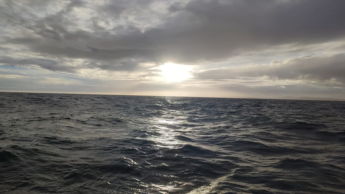
Sailing in tidal waters is always an education, but nothing compares to crossing the English Channel and navigating the Solent. This stretch of water is legendary for its challenging conditions: powerful tidal streams, a maze of sandbanks and channels, countless navigation marks and some of the busiest shipping lanes in the world. Add to that the regattas, ferries and naval vessels and you quickly realize why sailors rank The Solent among the most complex regions in the world.
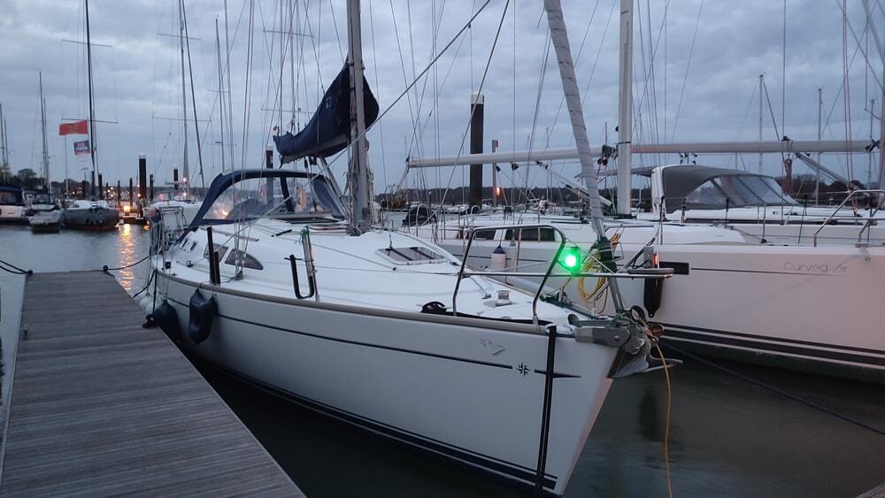
In spring 2024, we set out on a voyage that combined a Solent exploration with a full Channel crossing to the Channel Islands. Our yacht was a Jeanneau Sun Odyssey 37 (2003) – a sturdy cruiser with a Volvo 40hp engine, a draft of 1.55 m and an overall length of 11.40 m. She carried 136 liters of diesel and 320 liters of water – enough to keep us comfortable and safe.
This is the story of that passage, told day by day.
Understanding the Power of Tides
Before this trip, we had already sailed in tidal regions – but the tides had never dictated our navigation in a serious way. Most marinas and anchorages we visited in the past were accessible at any state of tide and tidal currents were barely noticeable.
The only real inconvenience was in places like El Hierro, Canary Islands. While waiting for a free finger pontoon, we moored temporarily against a concrete wall. With a tidal range of just 2 meters, the only challenge was adjusting our lines every few hours as the water level rose and fell.
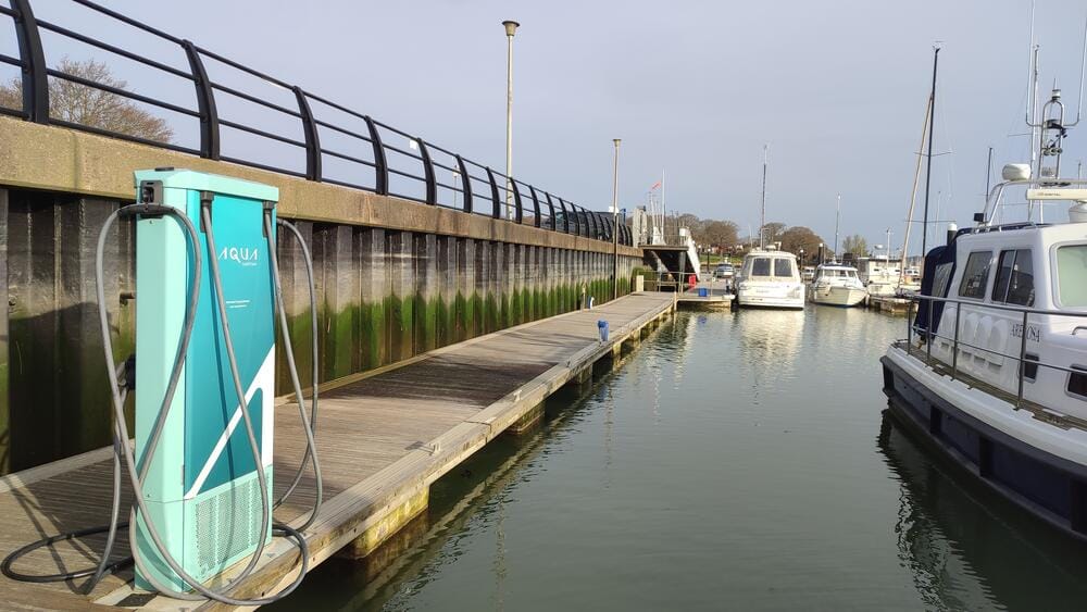
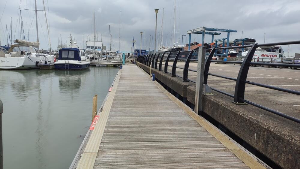
Low/high waters, River Hamble
But in the English Channel, tides shape the entire sailing experience. With extreme tidal ranges of up to 12 meters and powerful streams reaching 12 knots (especially in the notorious Alderney Race), timing becomes everything. You must calculate precisely when to enter or leave a harbour, plan depths for your entire stay and account for tidal set and drift on every passage. Otherwise, you risk grounding, missing your window, or fighting currents stronger than your engine.
Arrival in Southampton
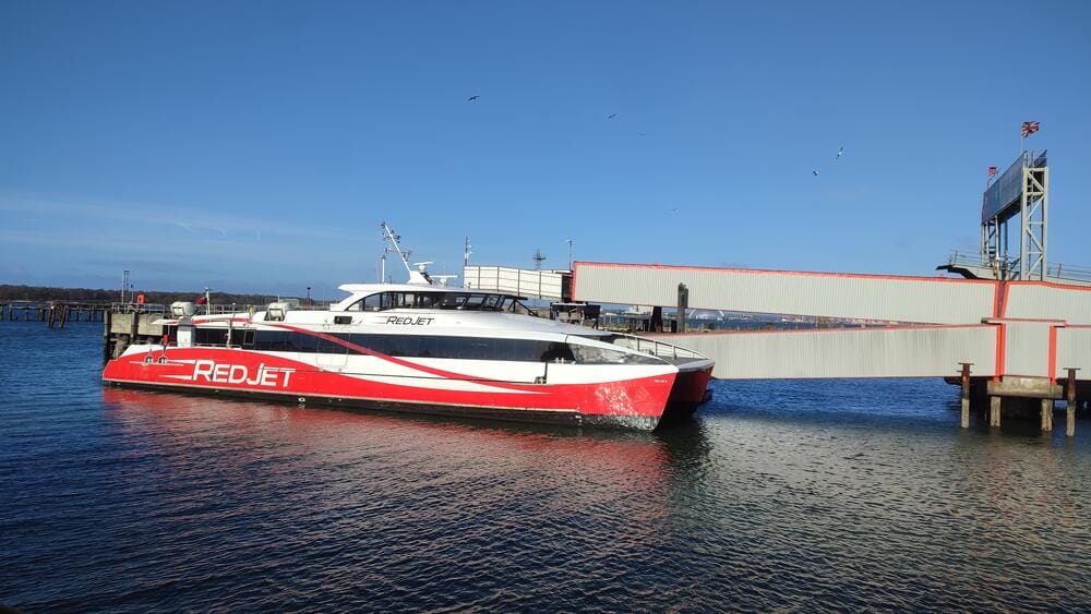
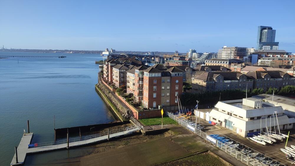
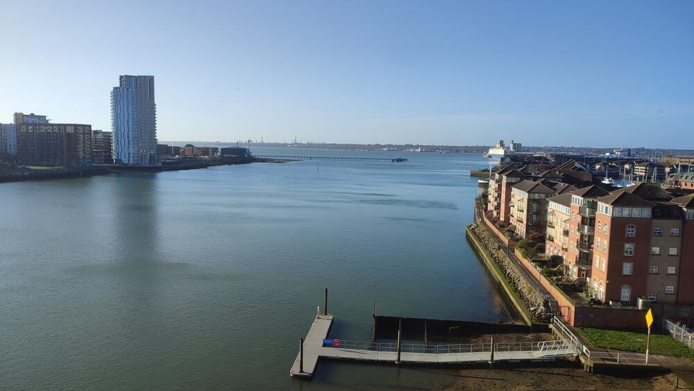
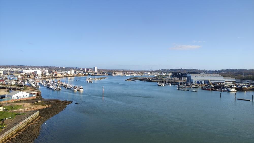
We flew into London, then traveled south to Southampton, the gateway to The Solent. Before taking over our yacht, we spent two nights exploring the city.
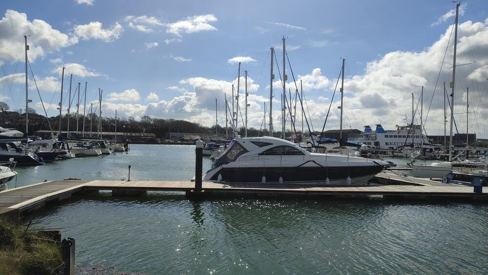
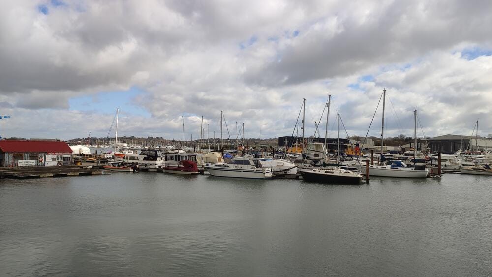
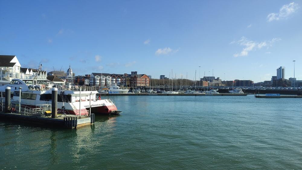
Southampton
Southampton Port
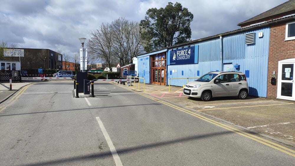
We refreshed our sailing wardrobe at Force 4 Chandlery (a great store – and just to be clear, we weren’t paid to say this) and wandered through Southampton’s lively streets. From the historic walls to Ocean Village Marina, the city reminded us that Southampton has been a hub of seafaring for centuries – famously the departure point of the Titanic.
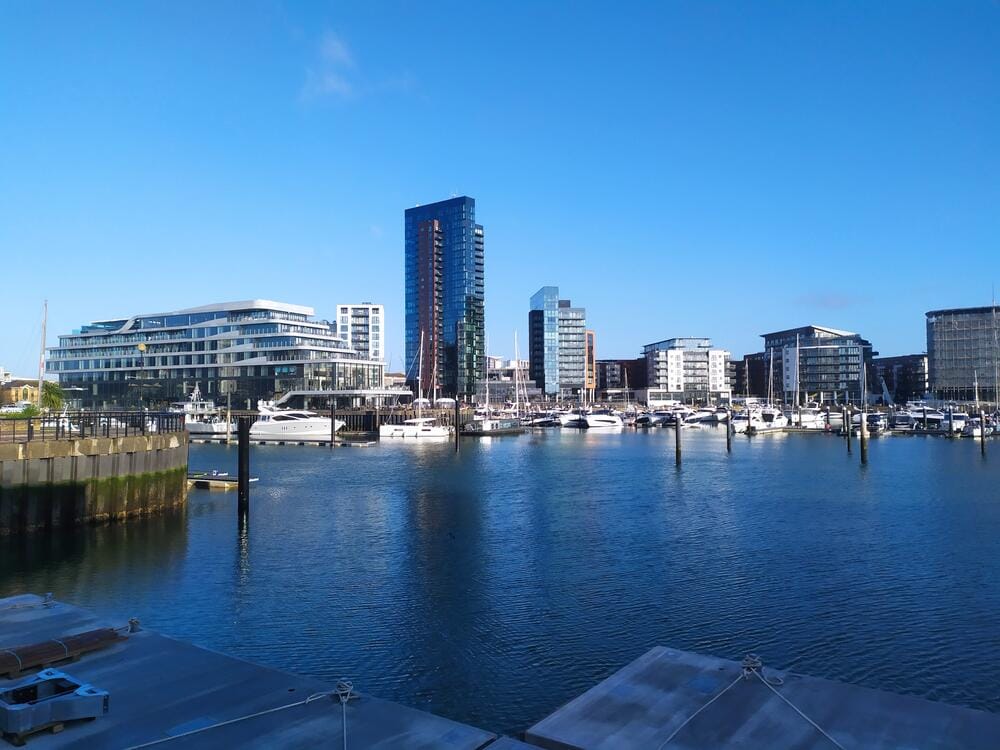
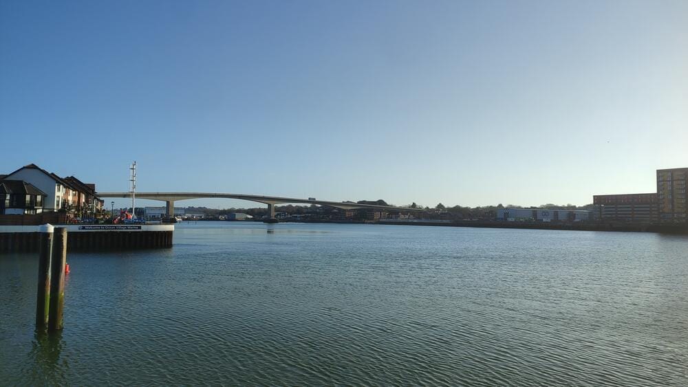
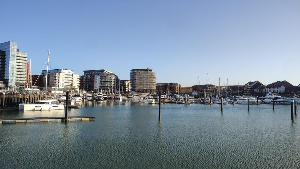
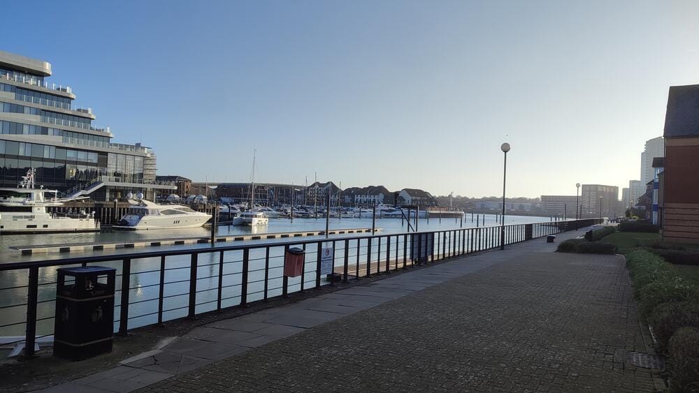
Ocean Village Marina
Day 1 – Hamble Point Marina and the River Hamble
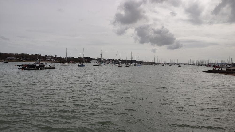
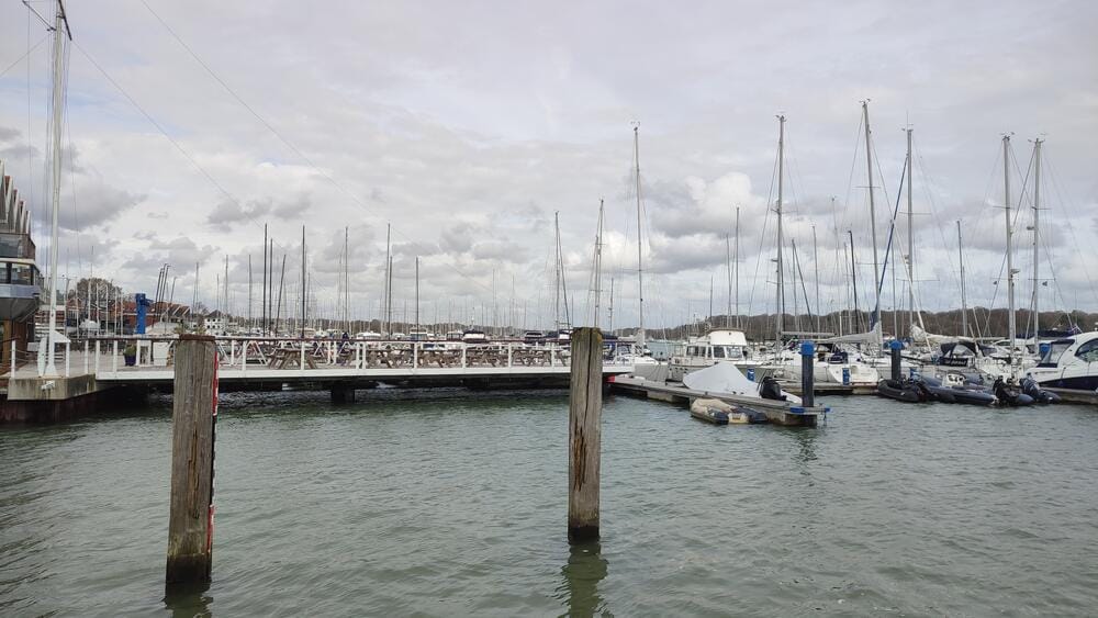
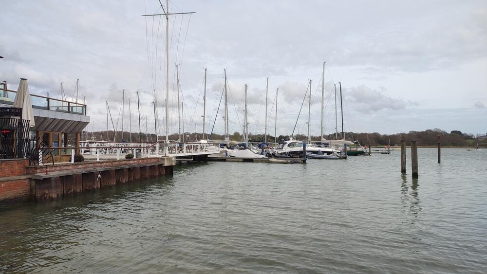
Our charter yacht awaited us at Hamble Point Marina, right at the mouth of the River Hamble.
River Hamble
The Hamble River is legendary in the sailing world. This narrow waterway is lined with marinas, boatyards and yacht clubs, earning it the reputation as the beating heart of British yachting. From here, countless offshore races have started and professional sailors train alongside weekend cruisers. The tidal flow is strong and pontoons are laid out parallel to the stream, making berthing a precise maneuver.
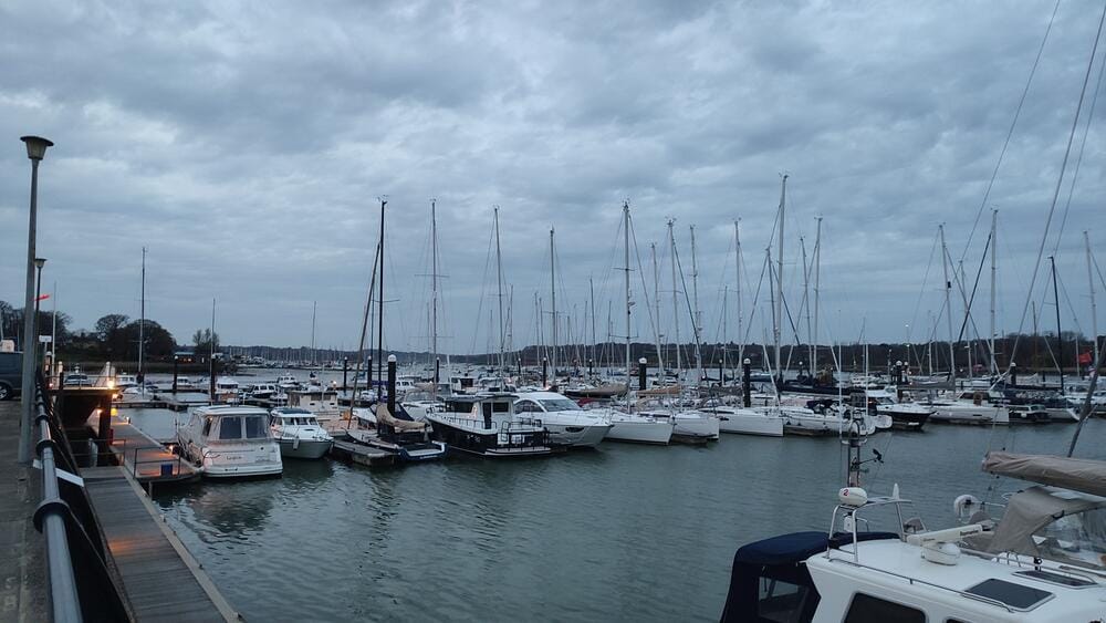
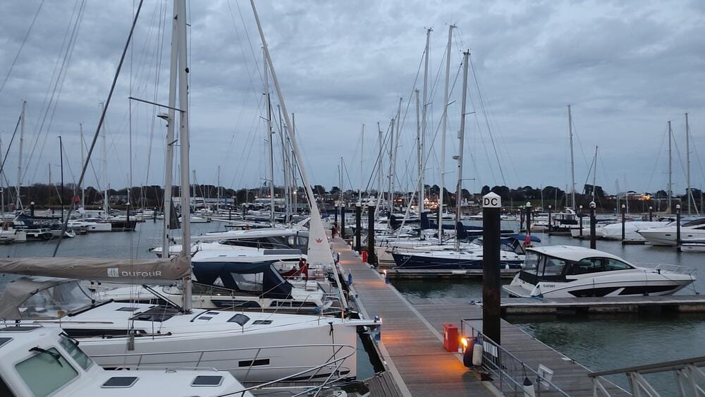
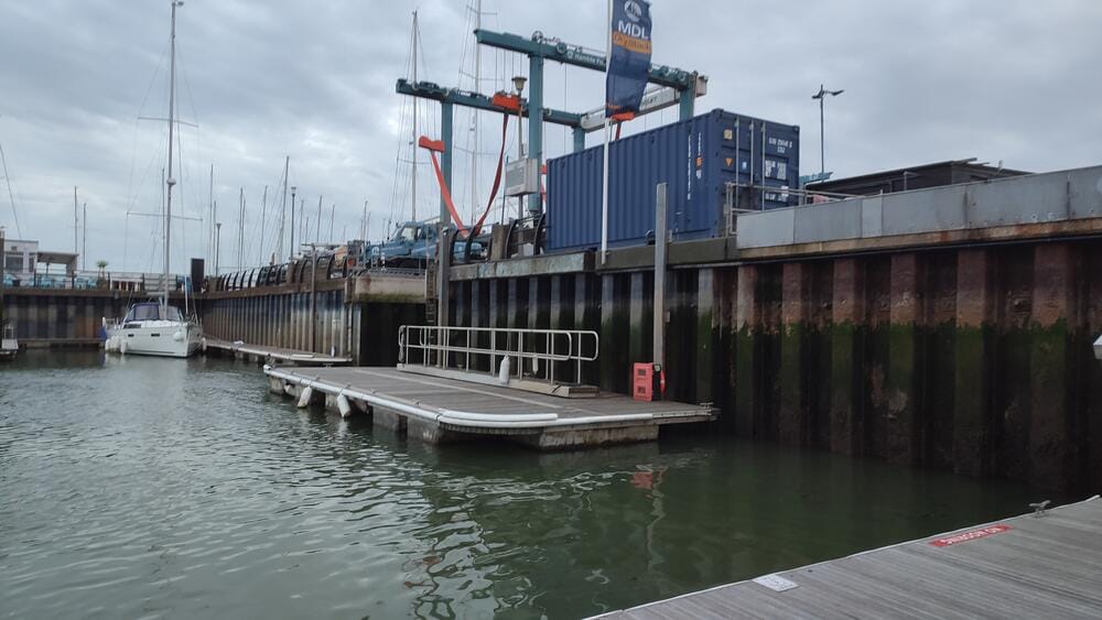
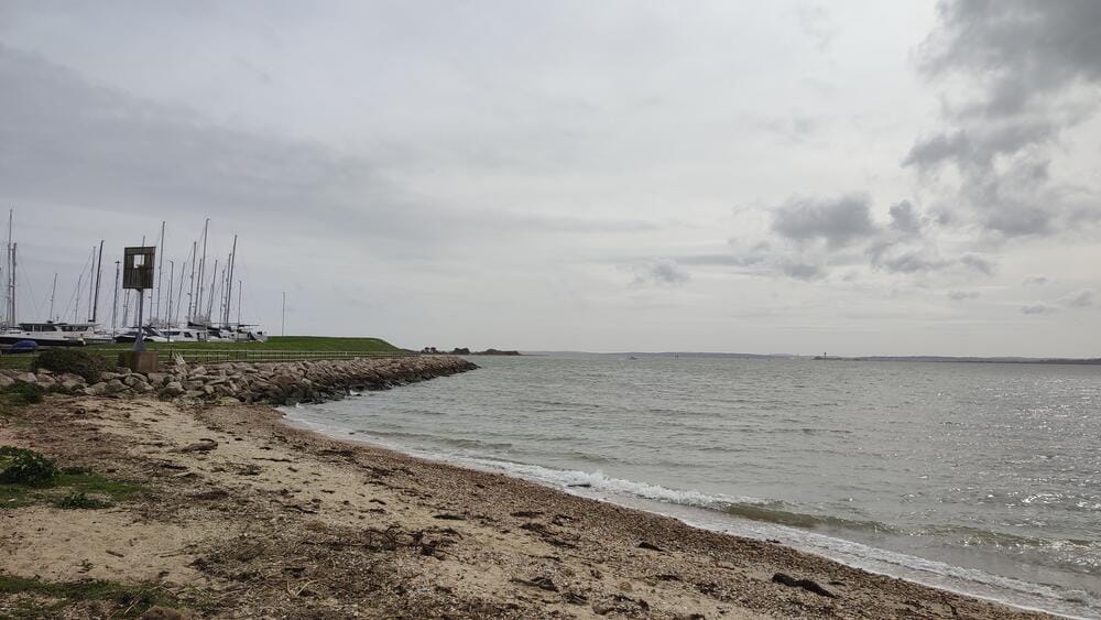
Hamble Point Marina
Day 2 – Weatherbound and Provisions
The Solent is famous not only for its tides but also for its fickle weather. Strong winds kept us in port, so we used the time to provision. From local shops to chandlers, Hamble has everything a crew might need.
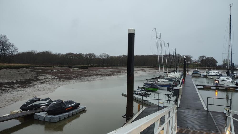
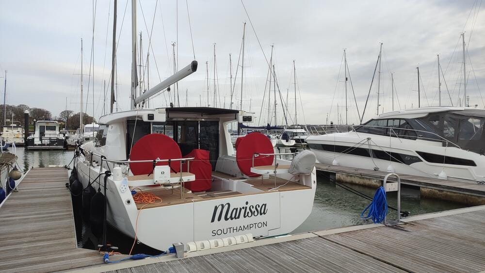
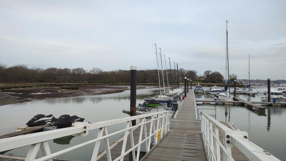
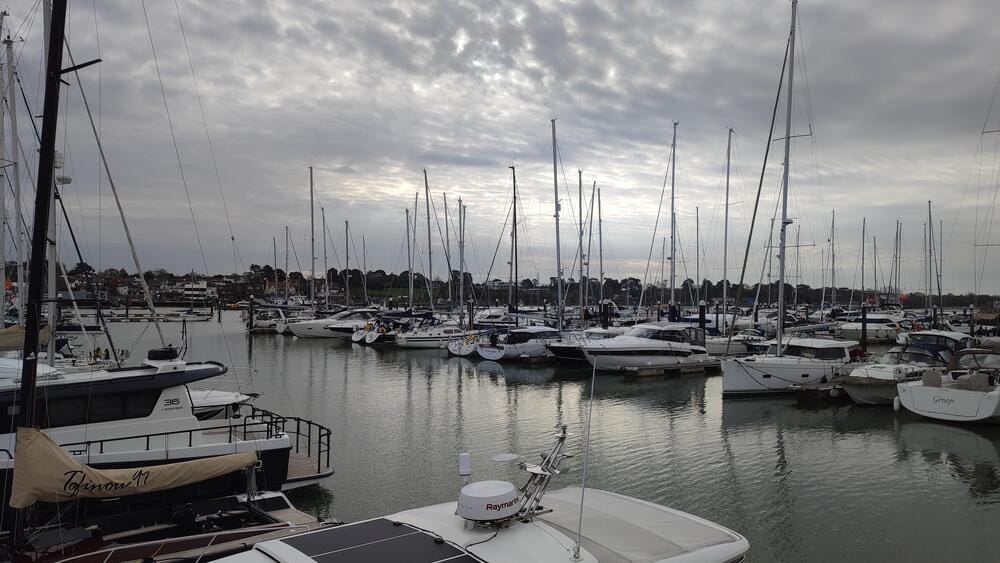
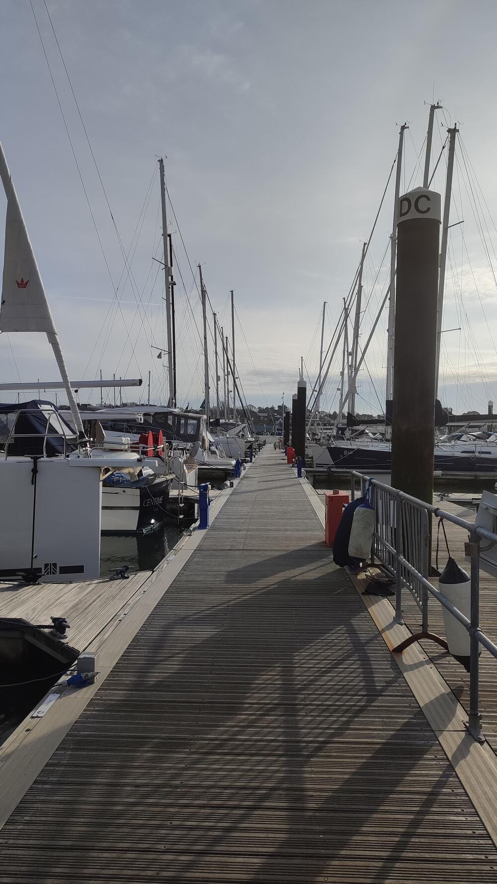
Hamble Point Marina
Hamble Point Marina
Day 3 – First Navigation in The Solent: Cowes
Our first real outing took us across The Solent to Cowes, on the Isle of Wight.
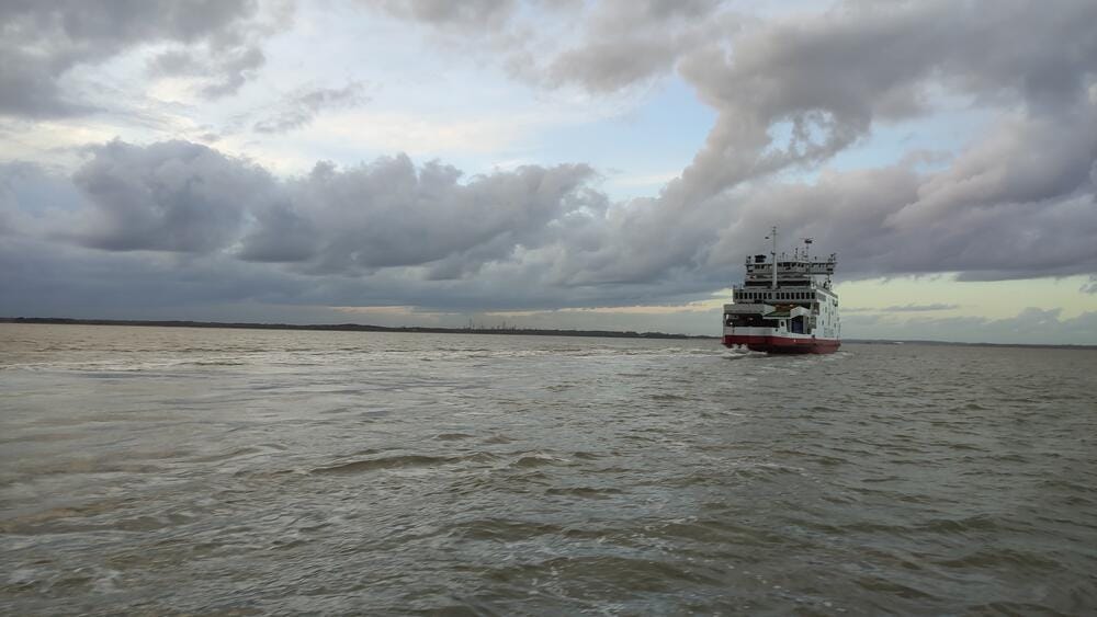
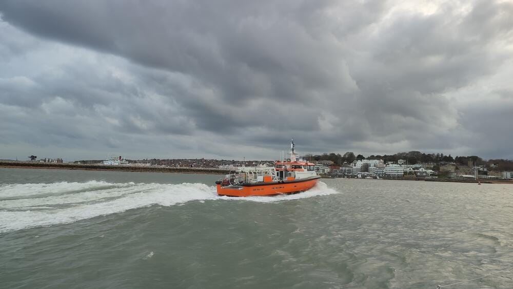
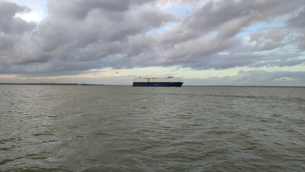
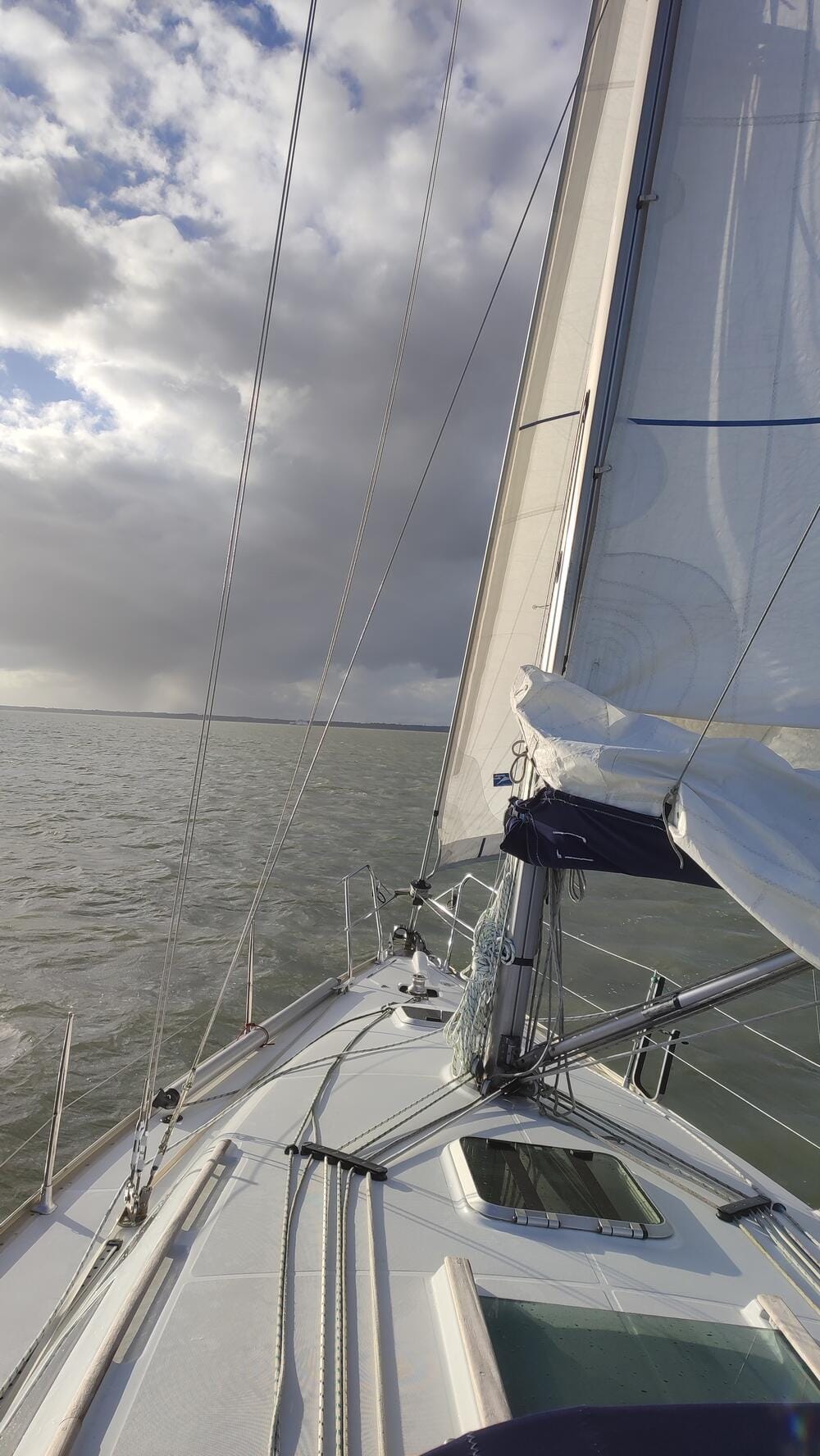
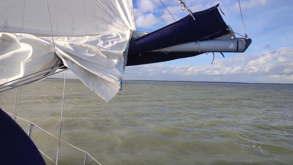
The Solent
Cowes is a name every sailor knows. It’s the home of Cowes Week, one of the world’s oldest and largest regattas, attracting sailors from across the globe. The town breathes sailing history, with yacht clubs, waterfront pubs and a maritime atmosphere that never sleeps.
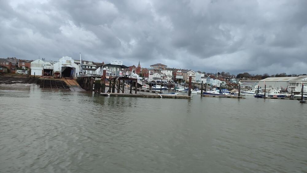
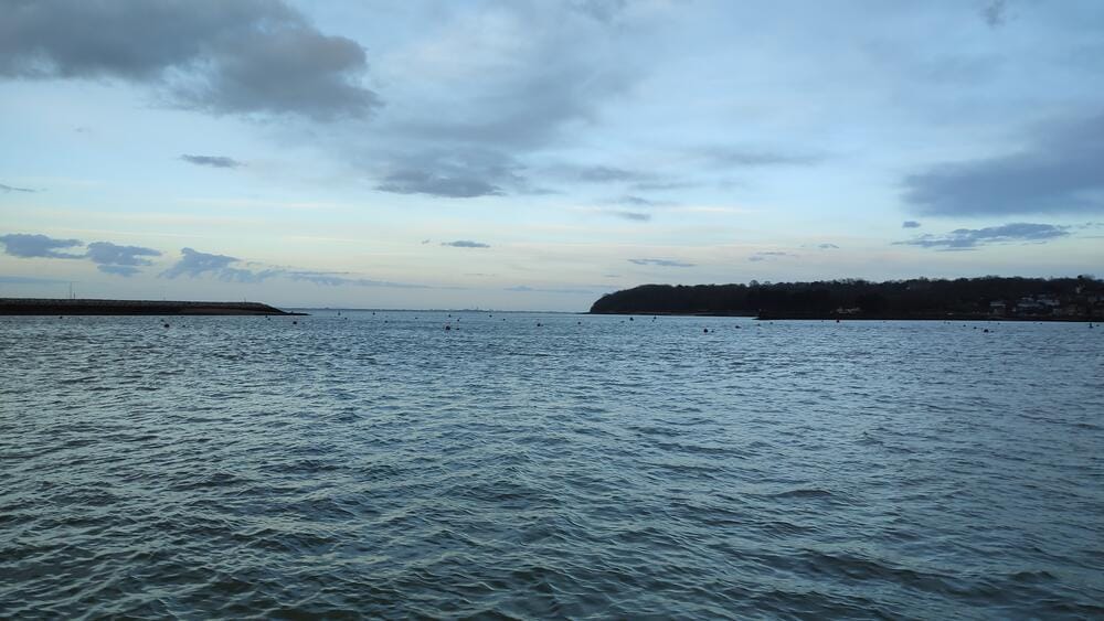
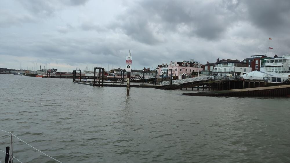
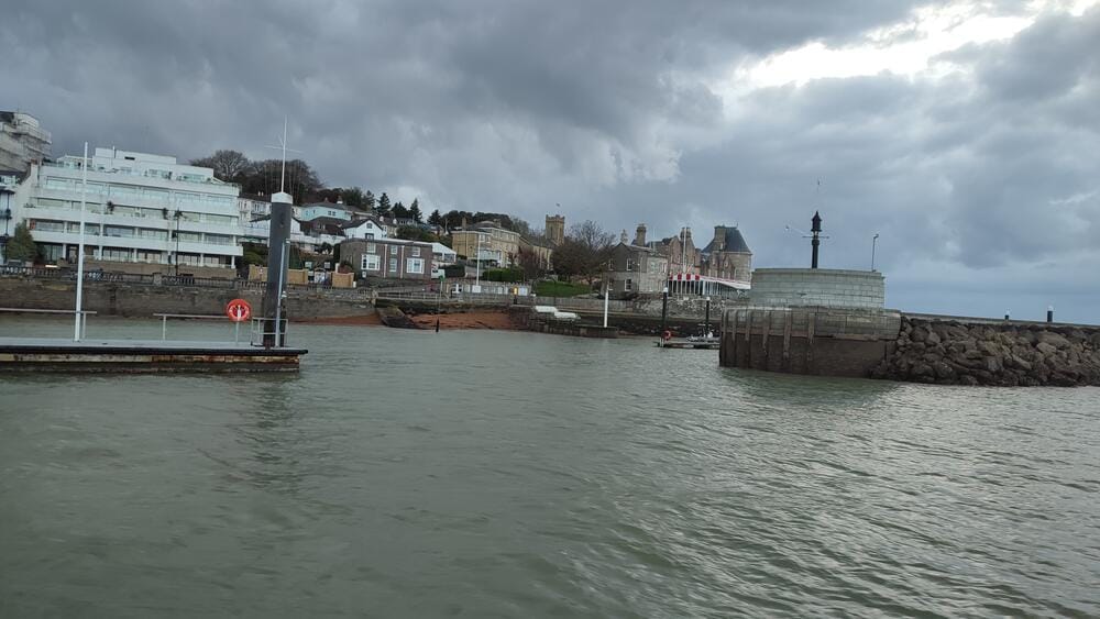
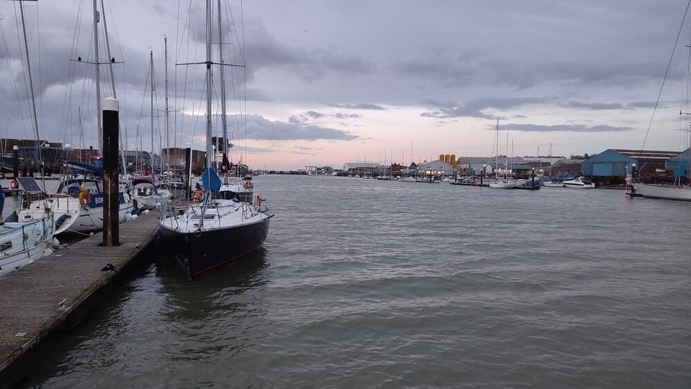
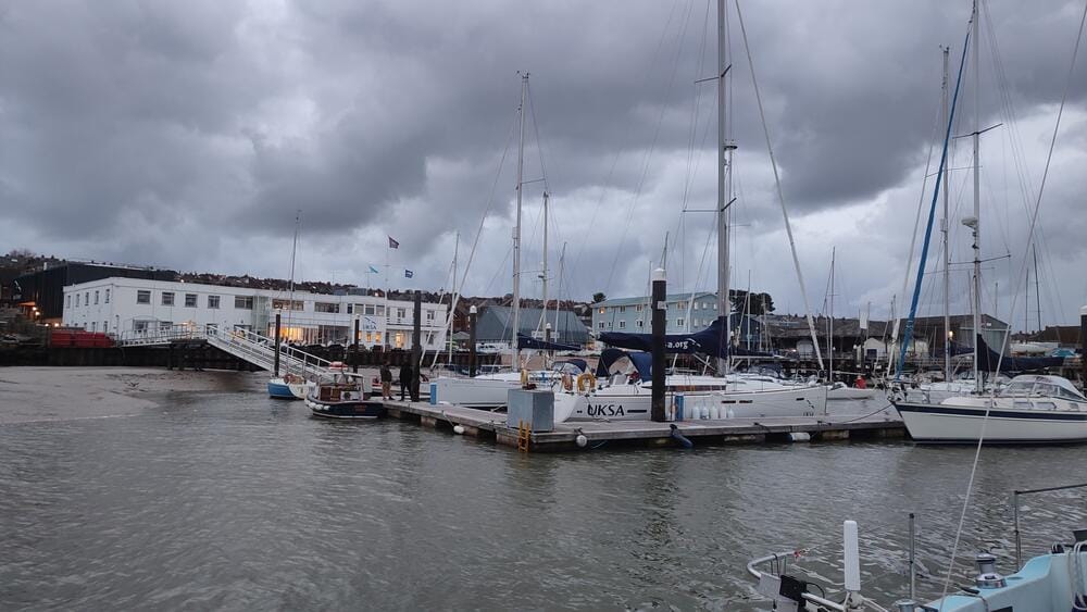
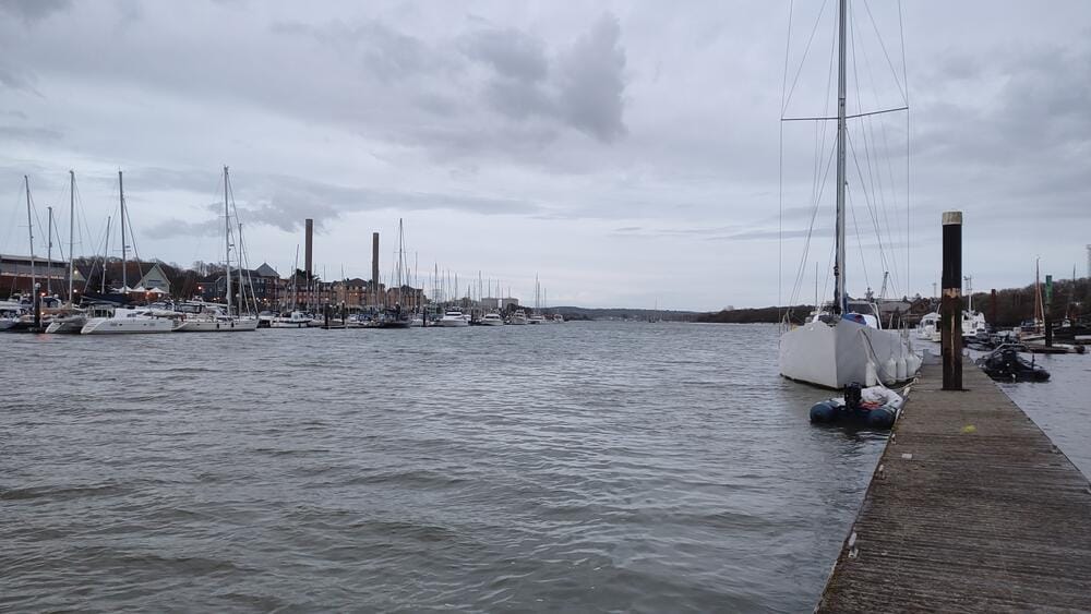
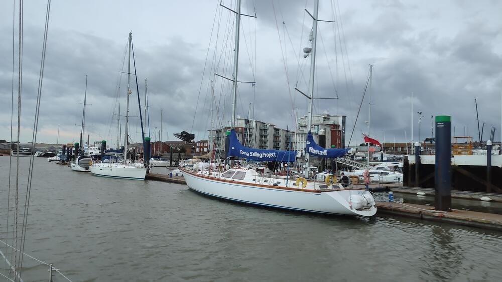
Cowes, River Medina
We moored on the River Medina, where pontoons are laid strictly along the tidal current – a reminder that here the tide always dictates the rules.
Cowes, River Medina
Day 4 – Solent Challenges and Return to Hamble
Back on the water, we explored more of The Solent, gaining a true appreciation for its complexity. Narrow channels with buoyage systems, sandbanks shifting with the tide and constant traffic demand full concentration. By evening, the weather deteriorated, so we returned to Hamble Point Marina.
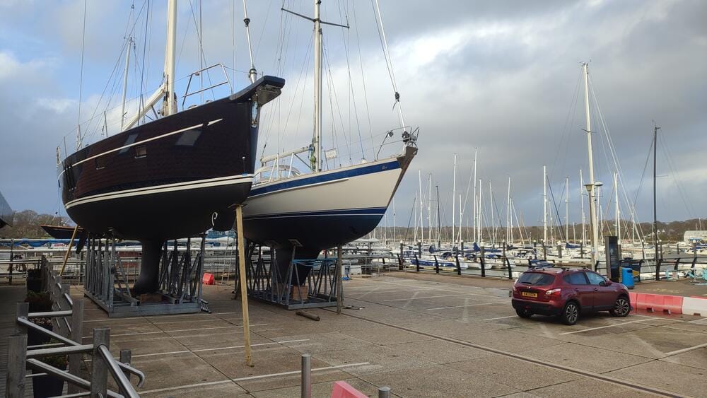
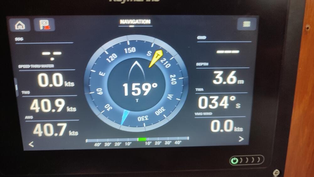
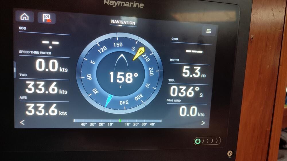
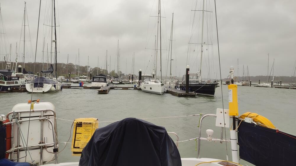
Hamble Point Marina
As the wind builds at Hamble Point Marina
Day 5 – Portsmouth Harbour and Fareham
The next leg took us east to Portsmouth Harbour. Entering Portsmouth requires care – ferries, naval ships and small craft all share the same waters. The entrance is narrow and busy, but once inside, the vast protected harbour feels like a different world.
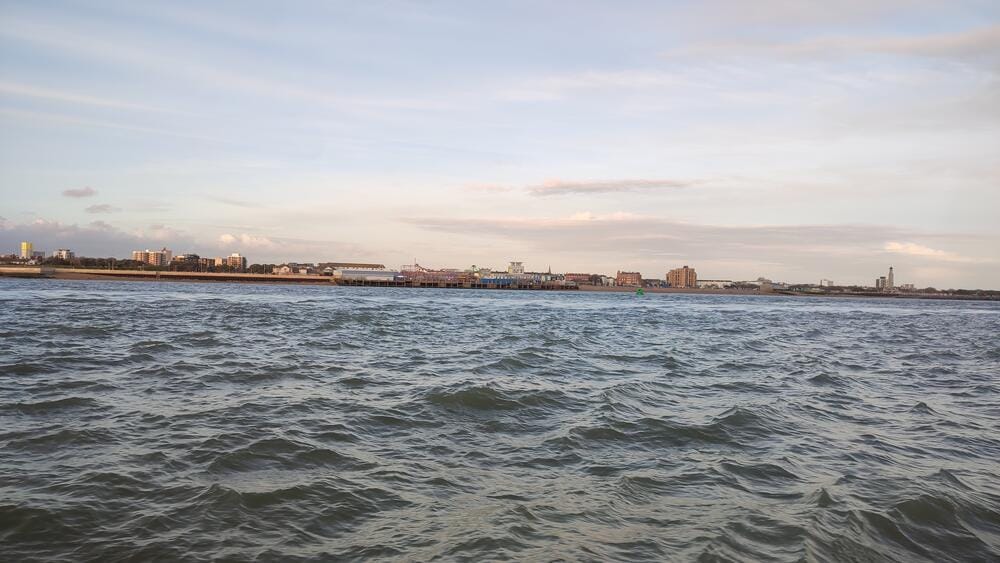
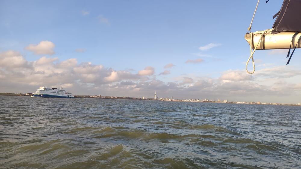
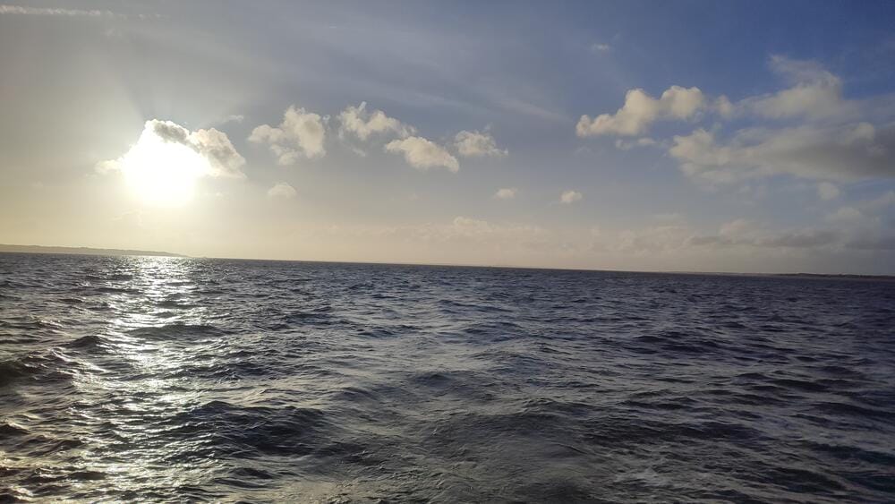
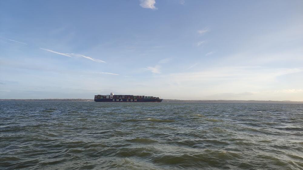
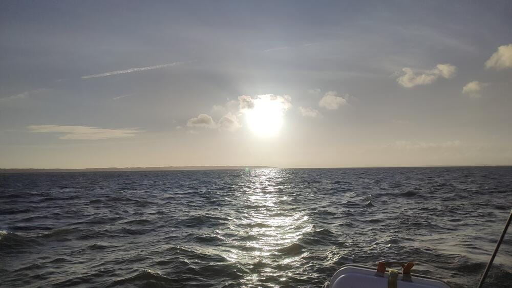
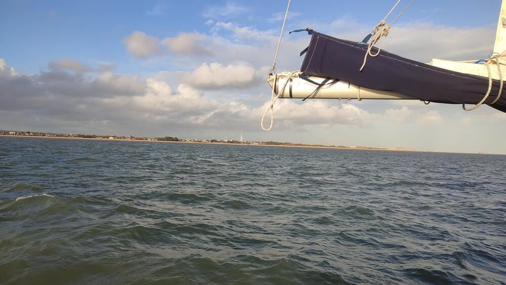
The Solent
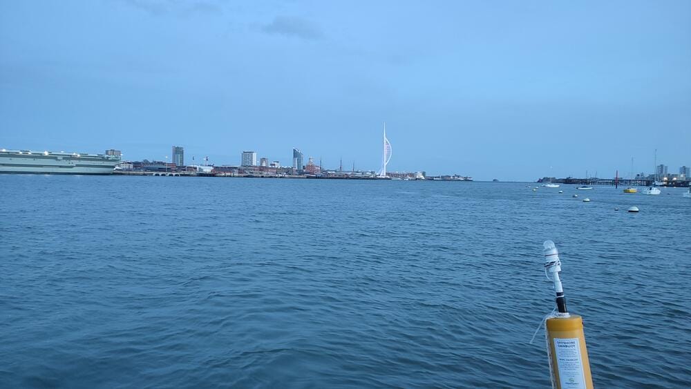
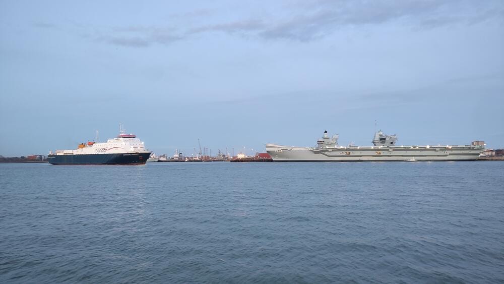
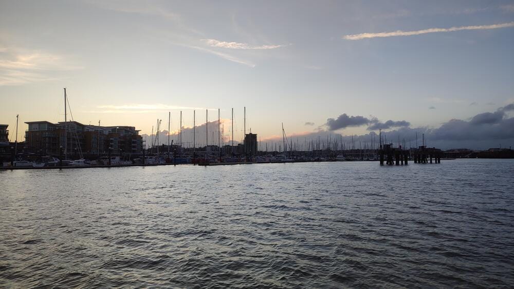
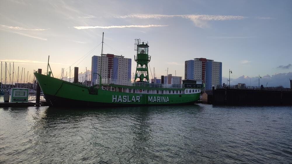
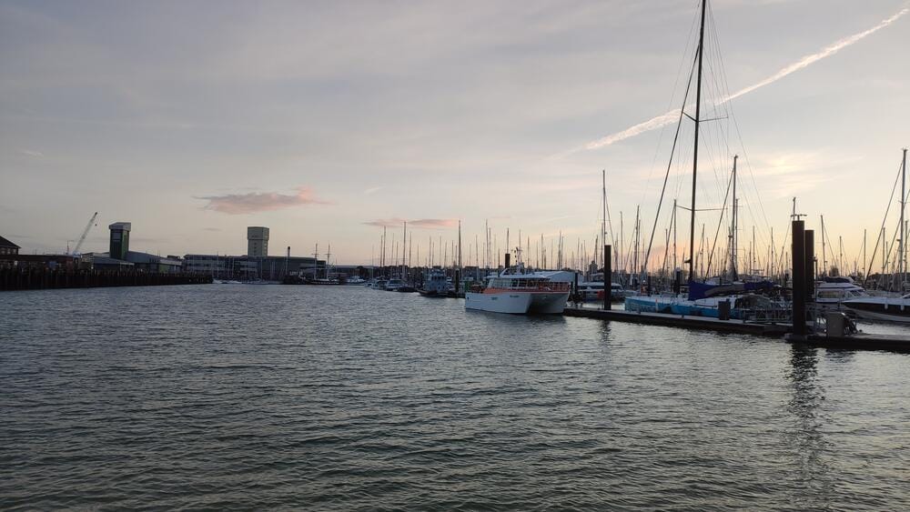
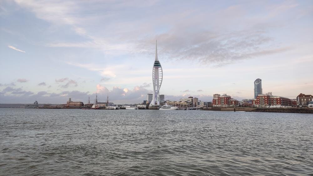
Portsmouth Harbour
Portsmouth harbour, Spinnaker Tower
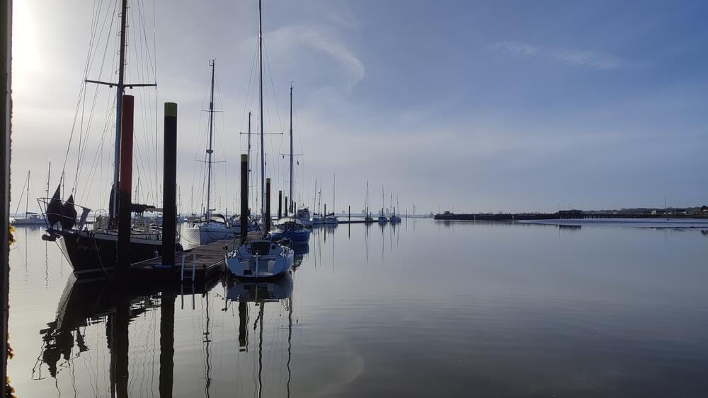
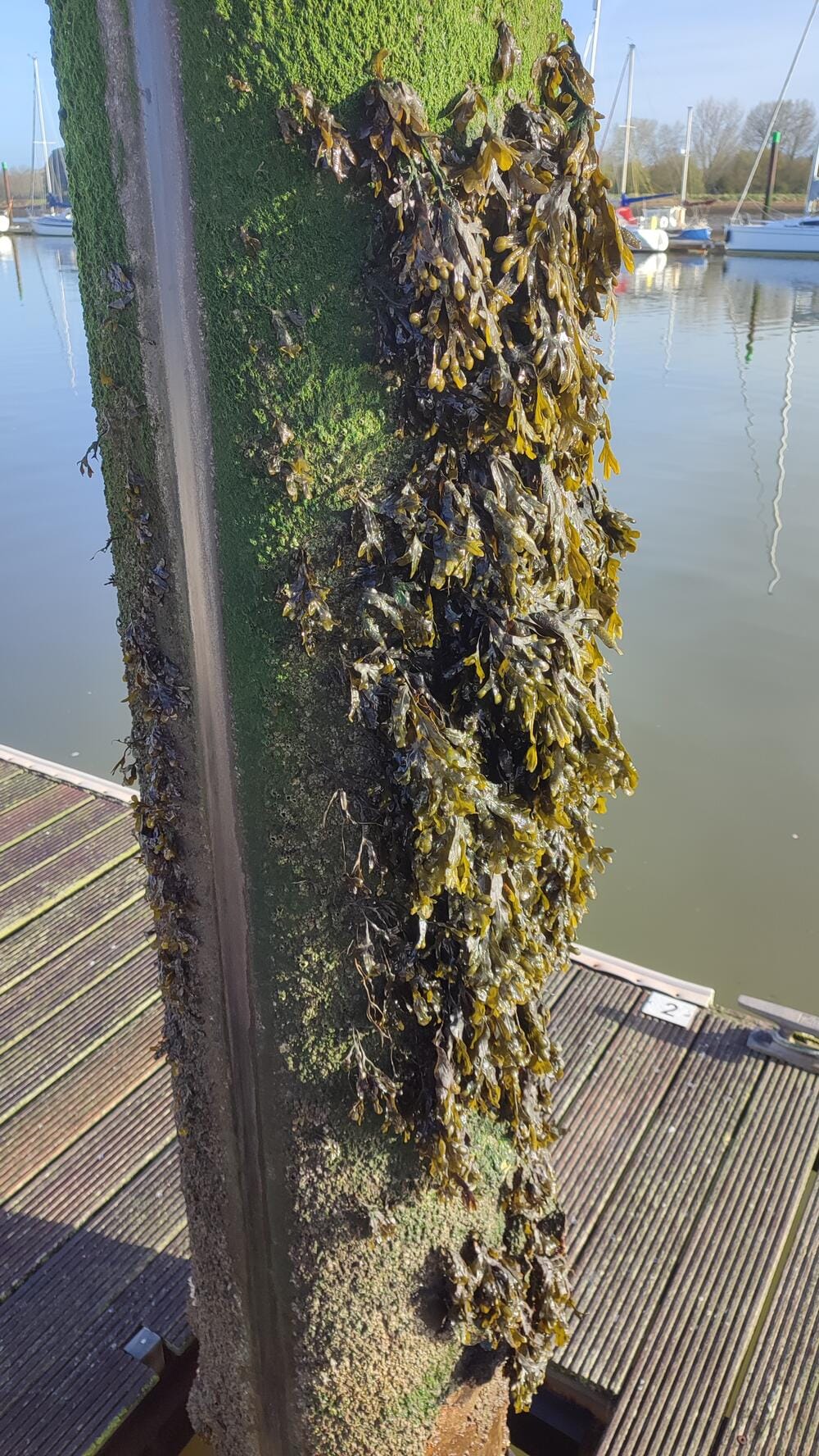
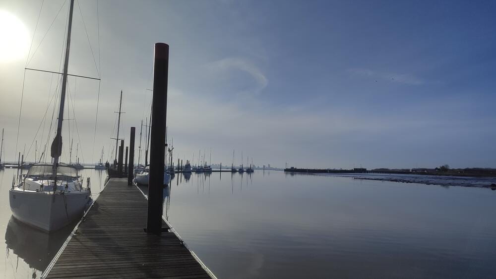
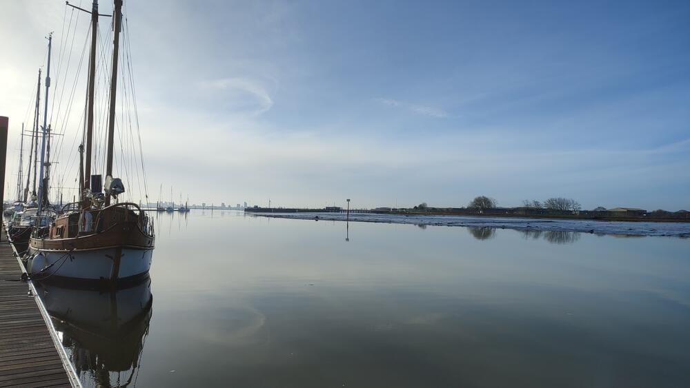
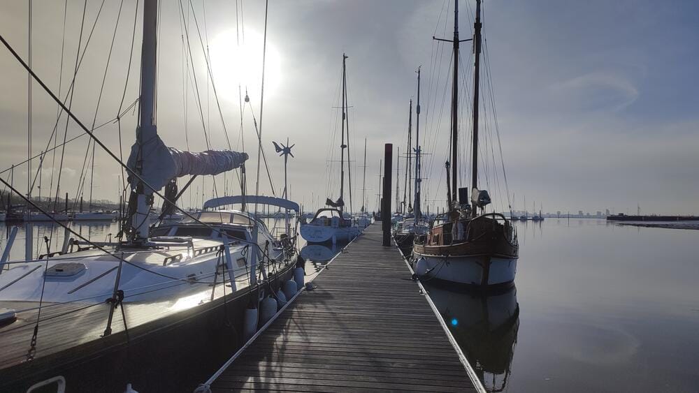
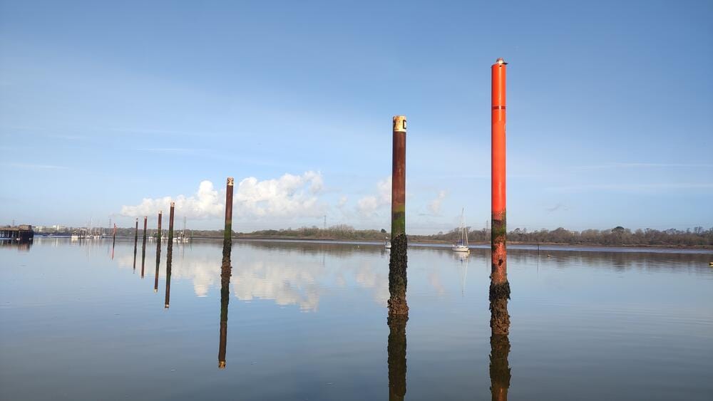
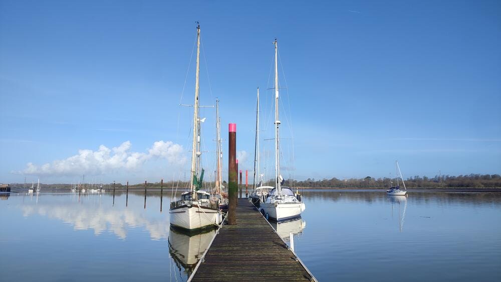
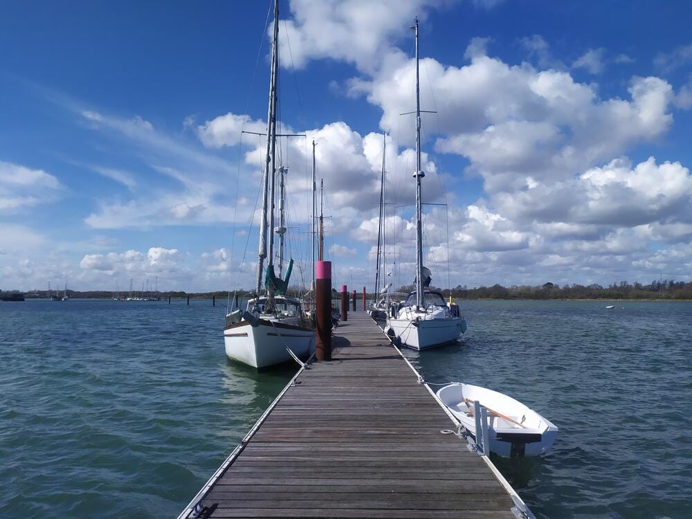
We continued up the creek to Fareham, where we tied up at a tidal pontoon. Watching the tide rise and fall by several meters was a striking reminder of Solent sailing.
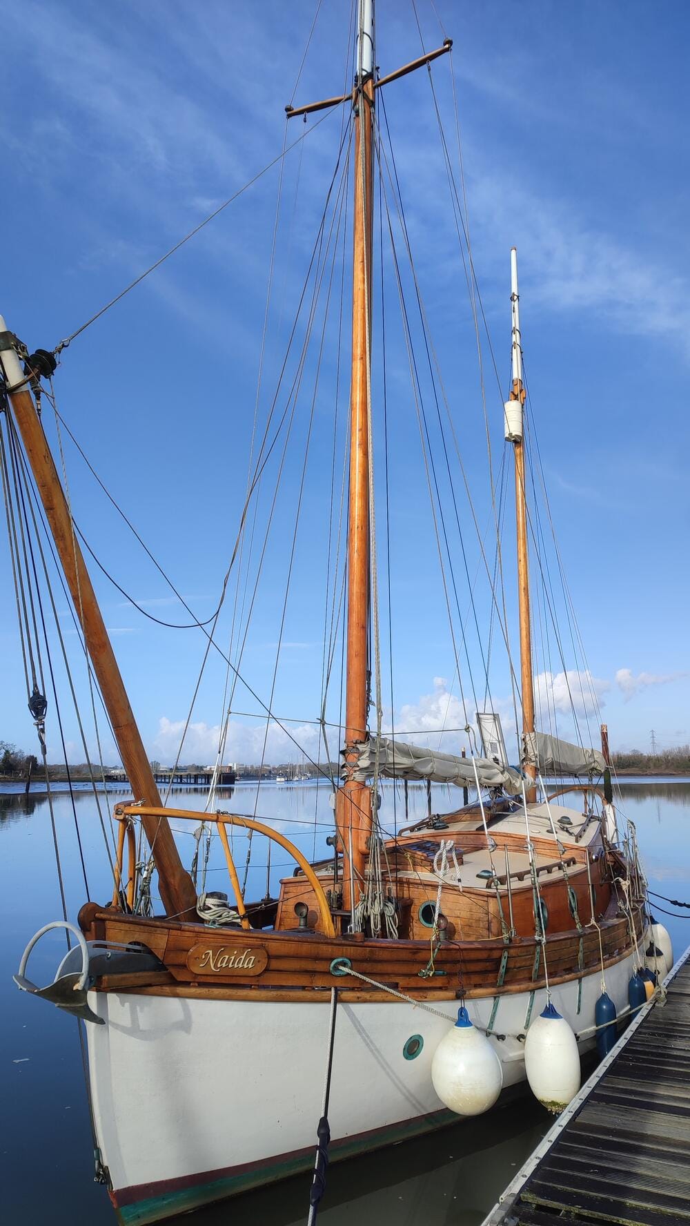
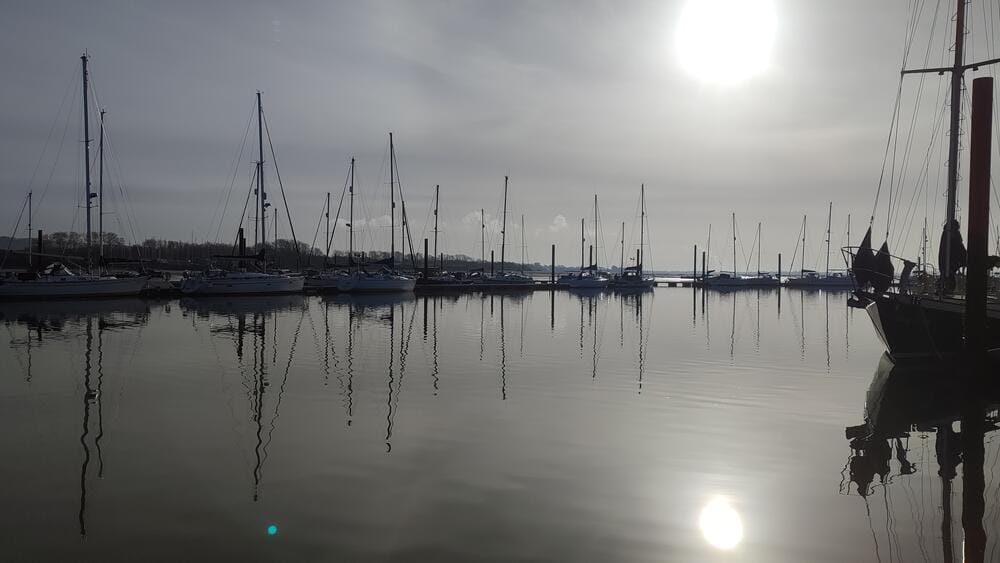
Fareham
The tidal range becomes obvious when the pontoon piles are uncovered.
Low/high waters, Fareham
Portsmouth itself is a city rich with naval history – home to HMS Victory and the Historic Dockyard.
Day 6 – Lymington River
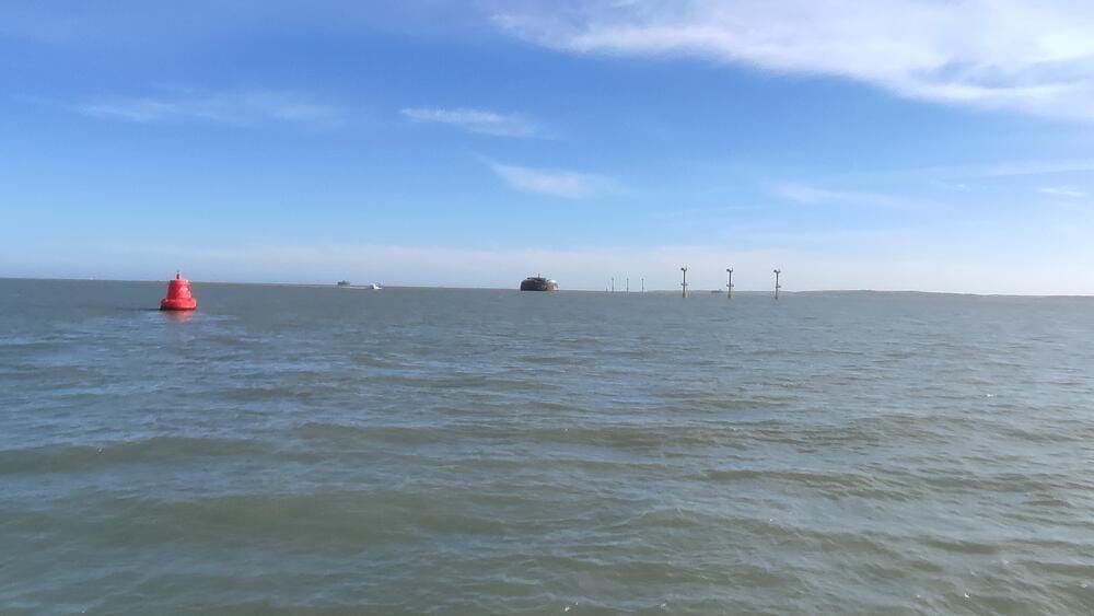
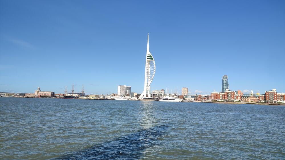
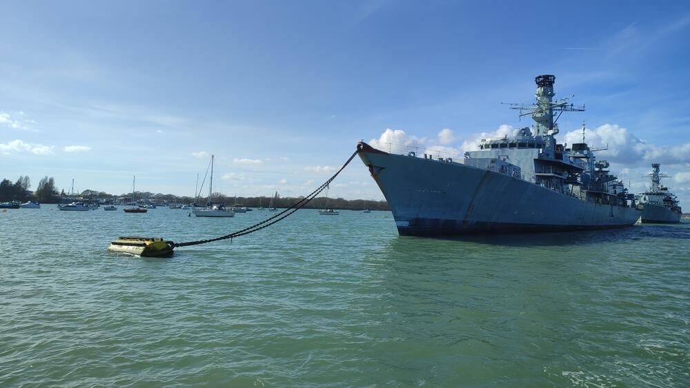
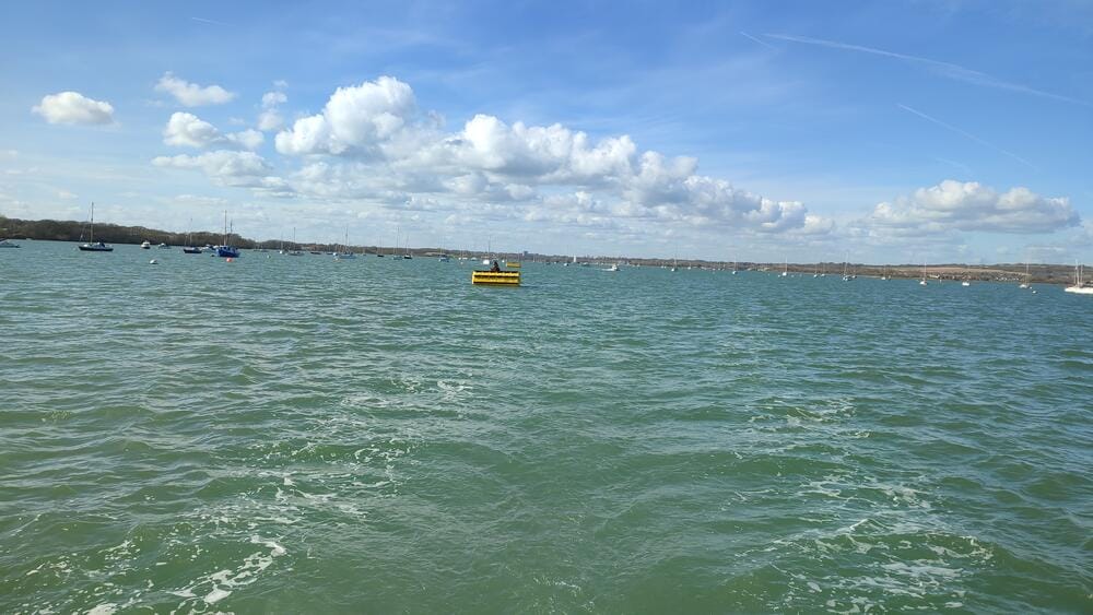
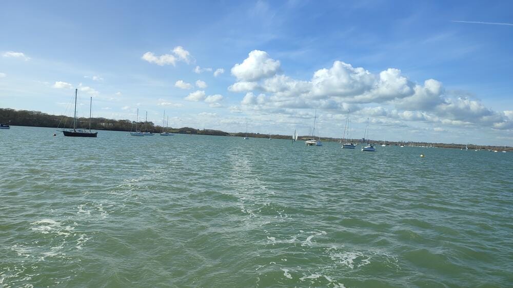
Leaving the Portsmouth harbour
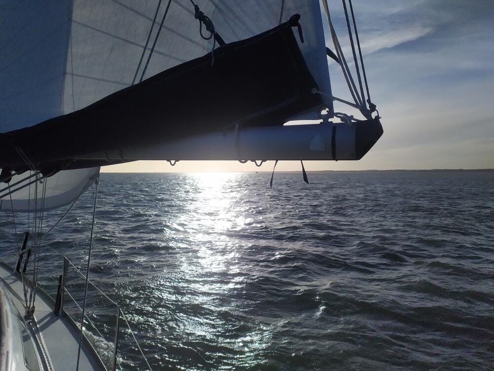
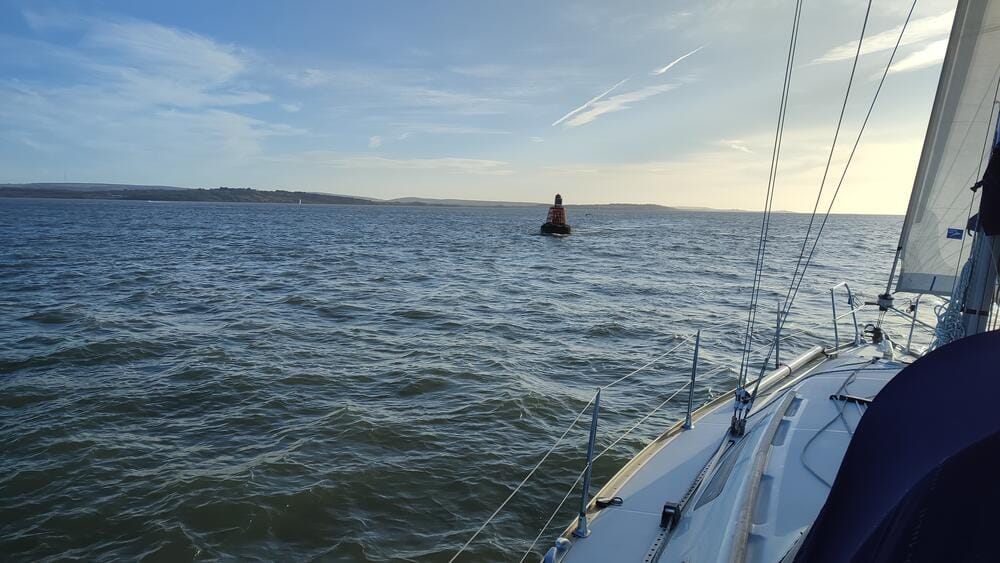
The Solent
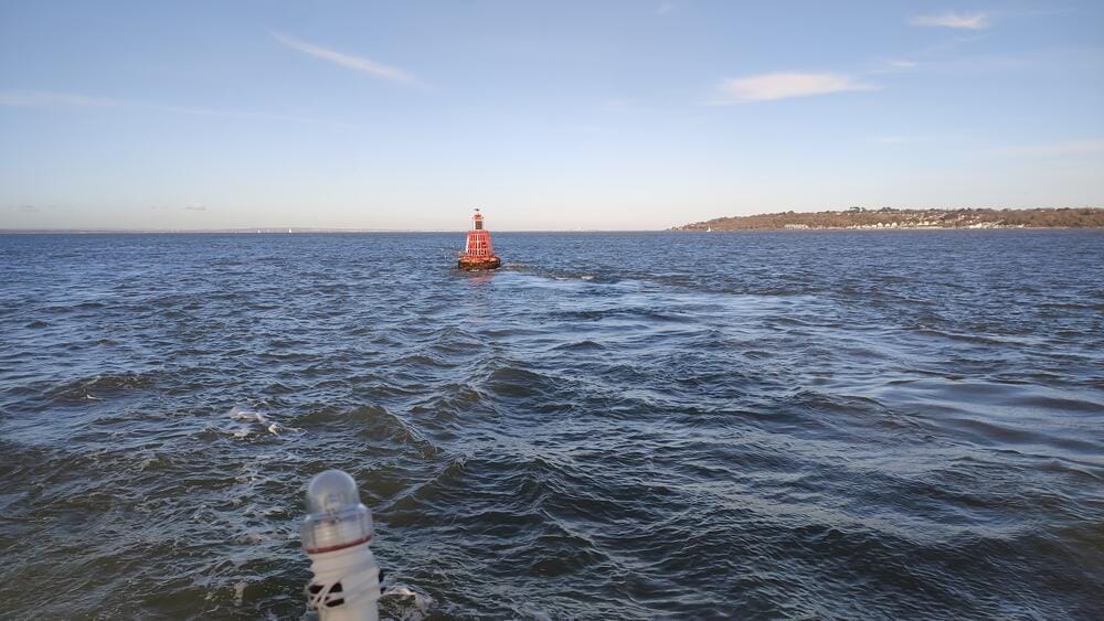
You can tell how strong the tidal currents in the Solent are by watching the leaning buoys
The Traffic in the Solent
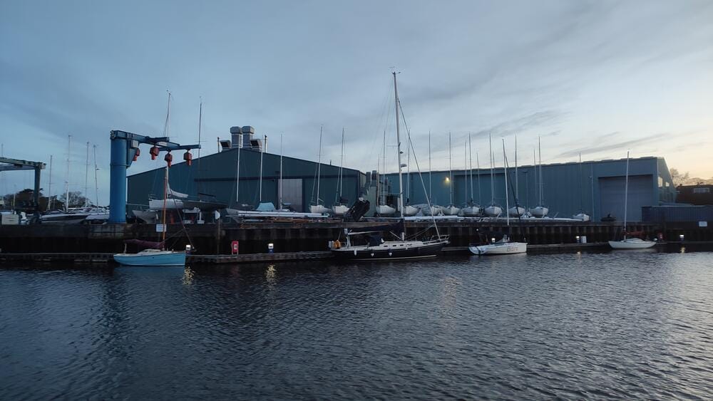
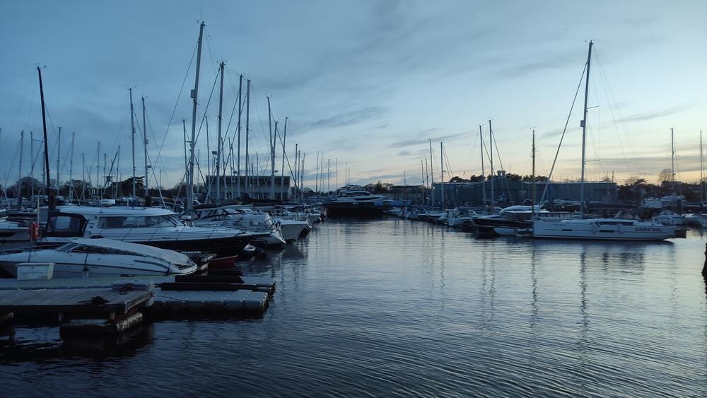
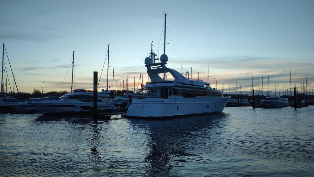
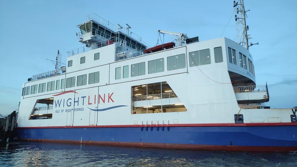
We set course westward and entered the Lymington River, a charming harbour town backed by the New Forest. Lymington is known for its mudflats and salt marshes and its yacht haven is bustling with racing fleets.
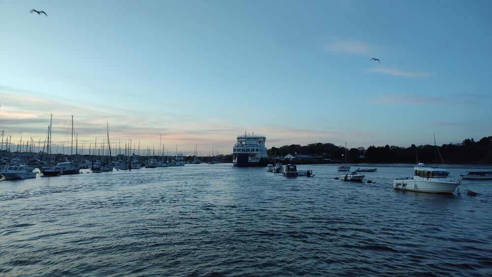
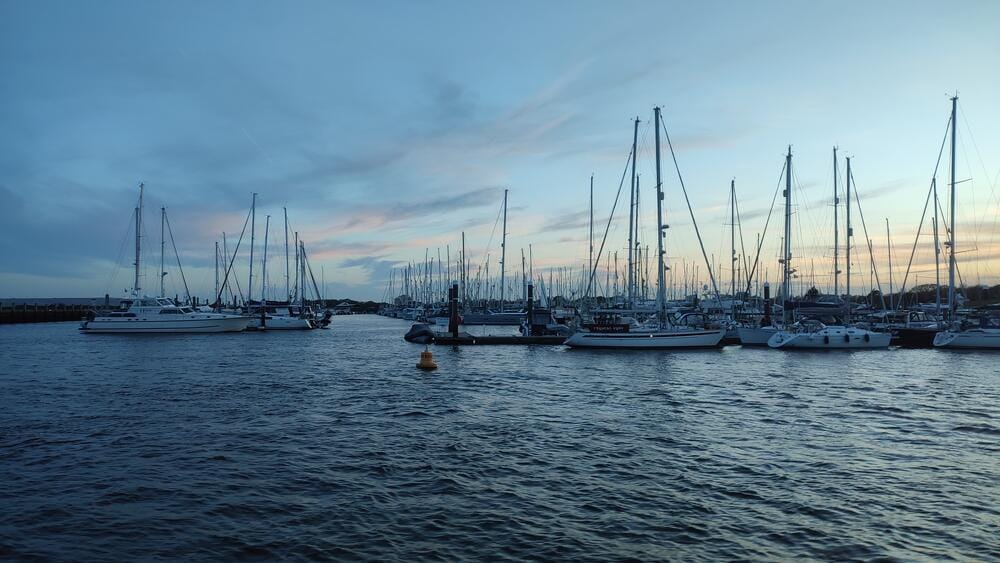
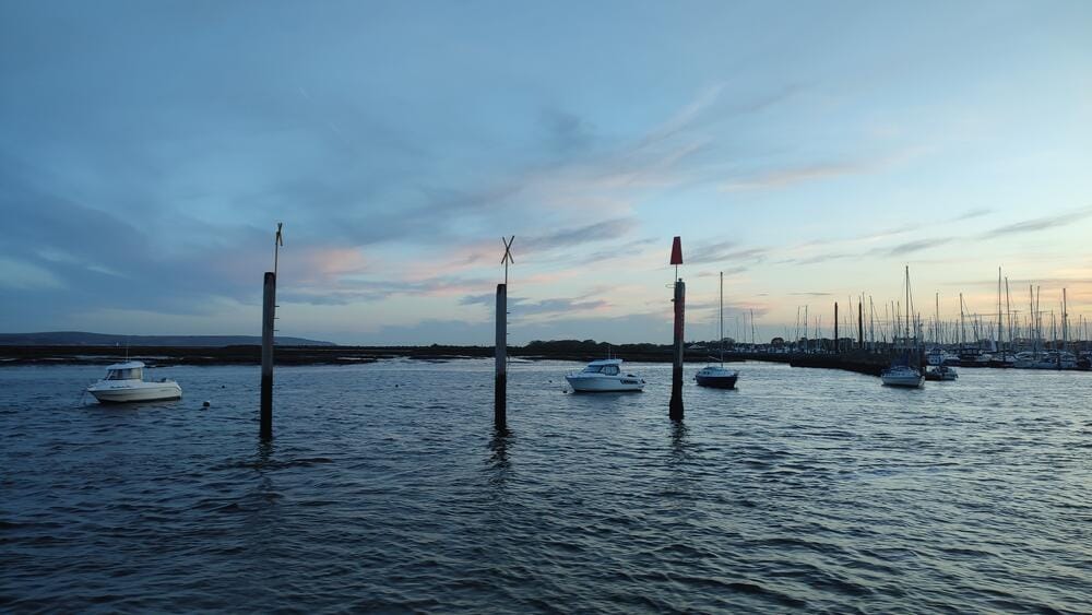
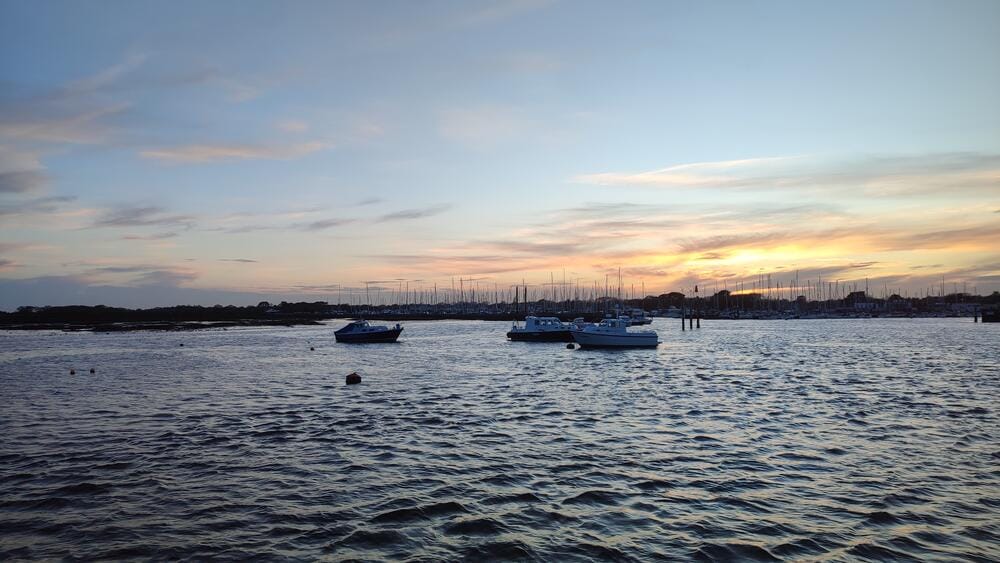
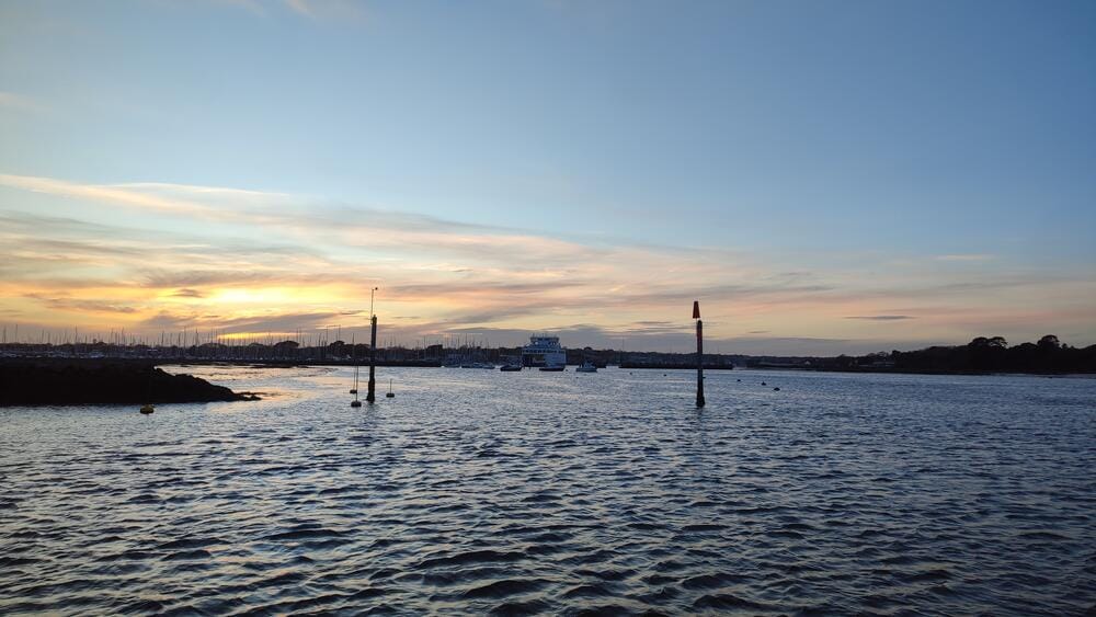
Lymington River
Here we moored at a finger pontoon, carefully planning our next step: the Channel crossing.
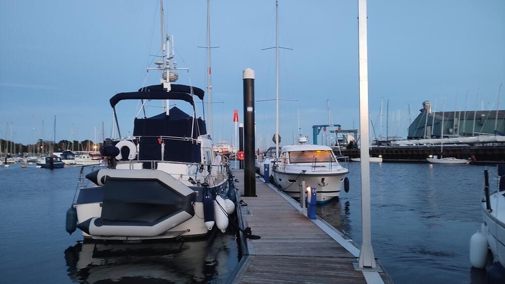
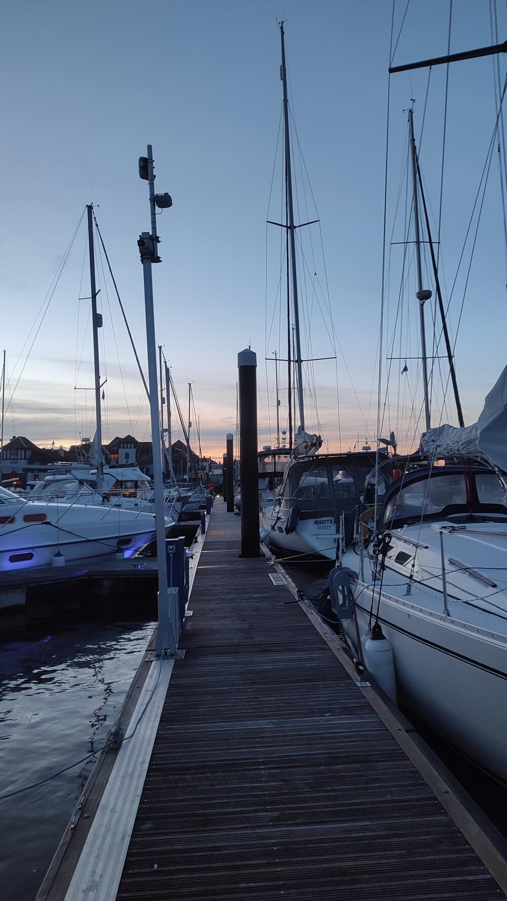
Lymington River
Day 7 – The Needles and Alderney Crossing
At 03:00 we slipped lines and by 04:30 were passing The Needles – the dramatic chalk stacks at the western tip of the Isle of Wight.
The Needles are as dangerous as they are beautiful. To the north lies the rocky shore; to the south, the Shingles Bank, a shifting shoal notorious for grounding vessels. Timing and tidal planning are essential when passing this narrow gate to the Channel.
From there, it was a 60-mile passage to Alderney, one of the Channel Islands. This crossing tested us to the limit.
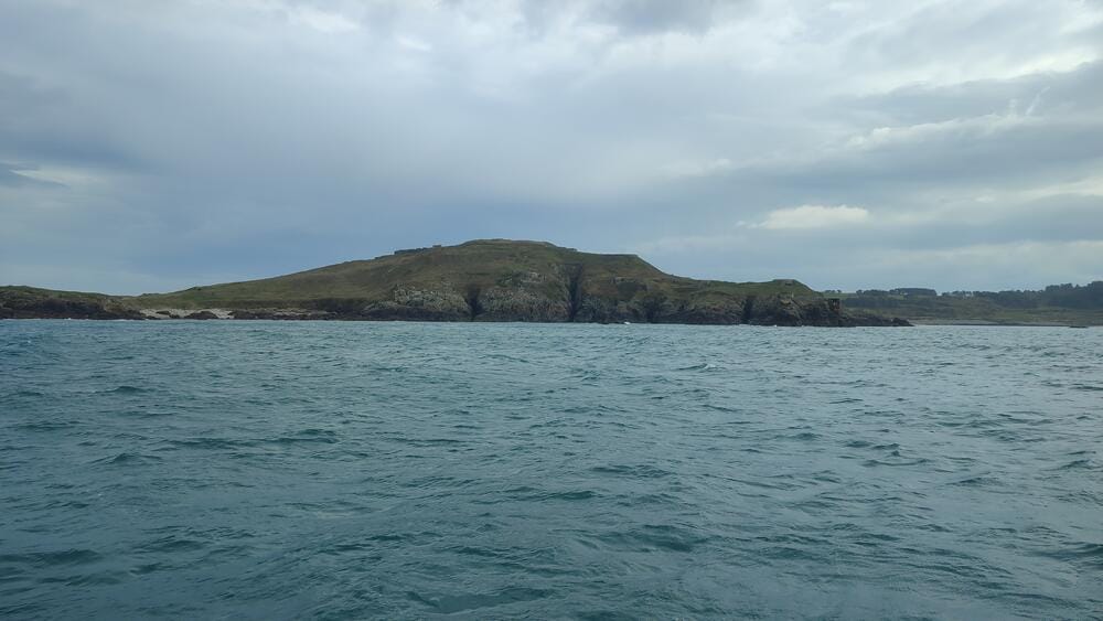
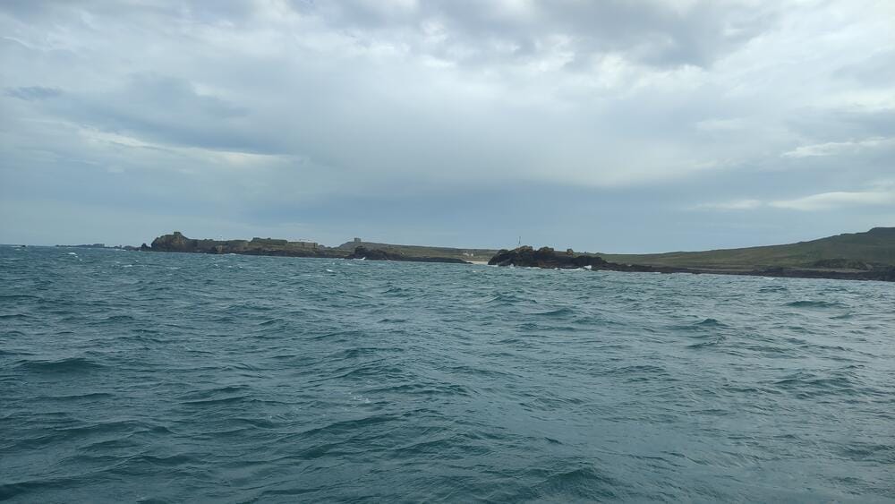
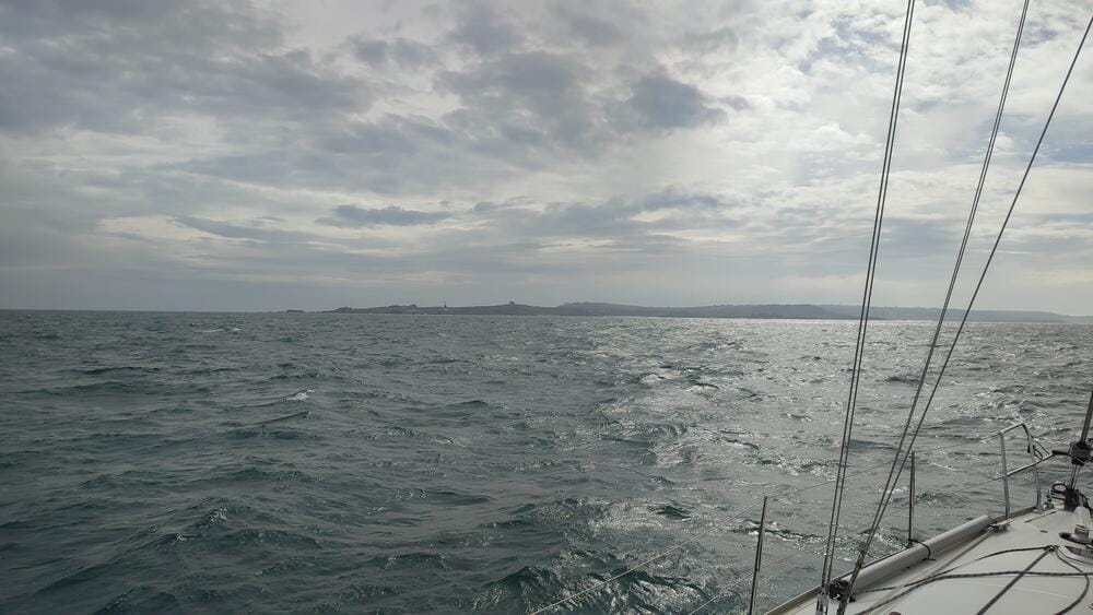
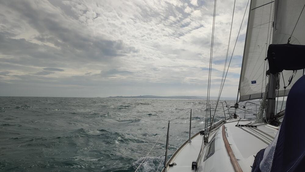
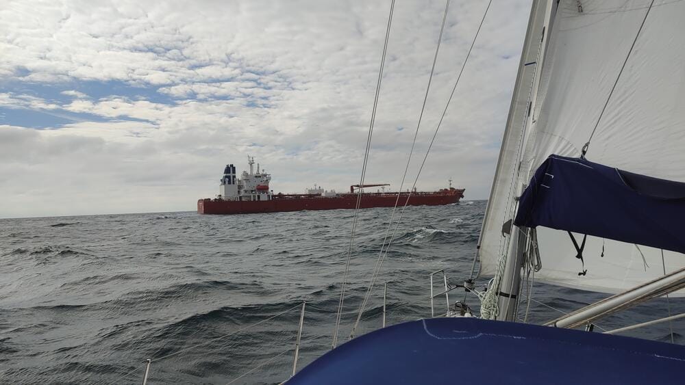
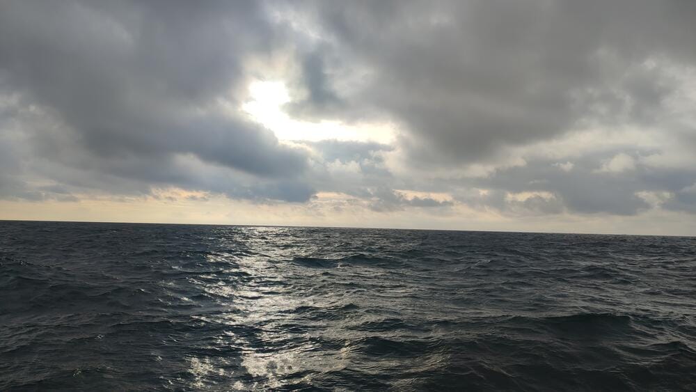
Crossing the Channel
The twist was that we decided not to rely on GPS. We deliberately switched off the plotter and left ourselves only with radar. In the Channel, tidal streams are extremely powerful and combined with leeway from the wind, even a small error in the passage plan can quickly grow significant over a 60-mile crossing.
Crossing the Channel
To make things more interesting, visibility was poor due to an approaching cyclone. The coastline only appeared when we were about 10 miles out and for a while we kept debating: was that Cherbourg, Alderney, or perhaps even the French mainland?
When Alderney appeared through the mist and we made landfall with relief and excitement.
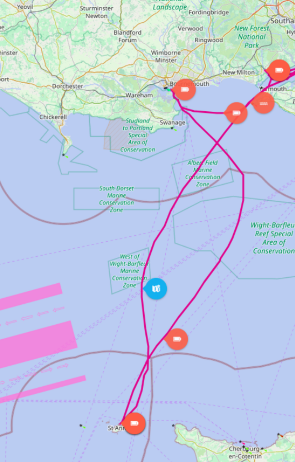
To keep track of our position, we used every tool we had — depth soundings, radar, visual references when possible and even the presence of other ships. When we spotted convoys of container vessels, we realized we were crossing the Traffic Separation Scheme (TSS), which confirmed our estimated track.
How accurate it turned out—see for yourself on the chart below:
Arriving in Alderney feels like stepping into another world. Although the island belongs to the British Crown, it sits just a few miles off the French coast and has its own unique atmosphere. The Channel Islands are famous among sailors not only for their beauty but also for their extremely challenging waters.
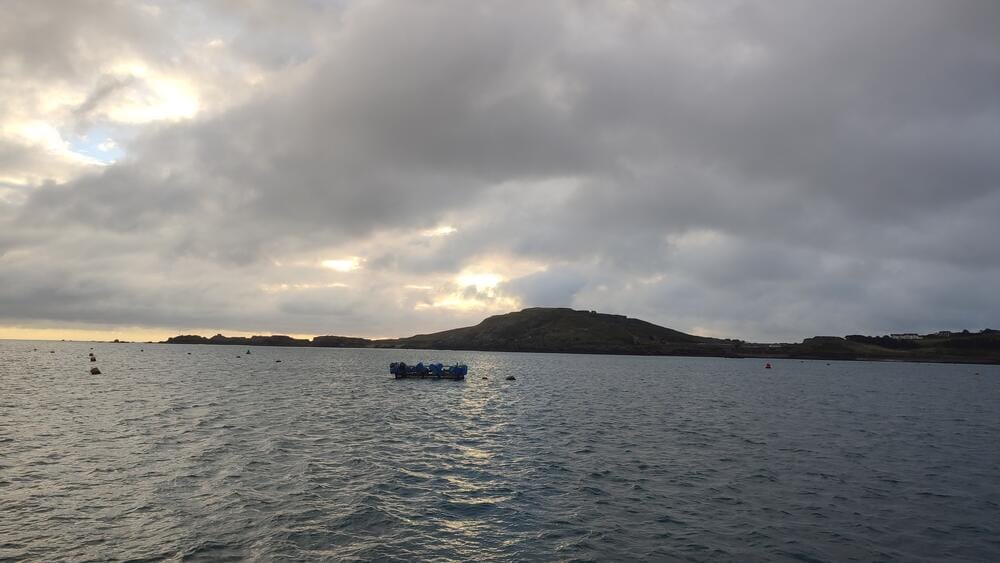
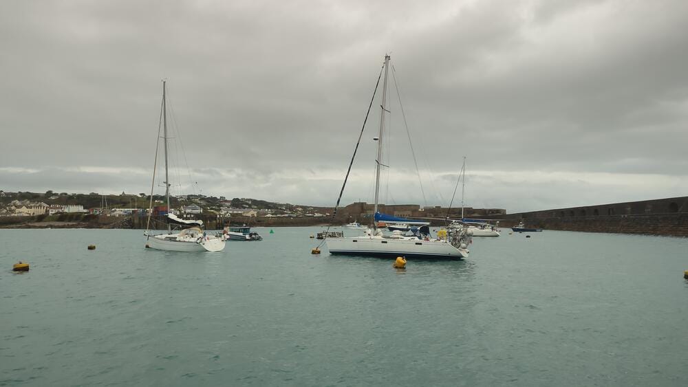
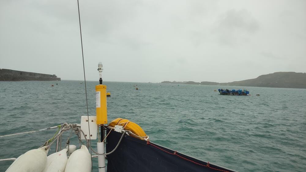
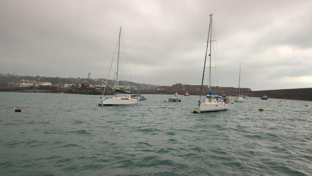
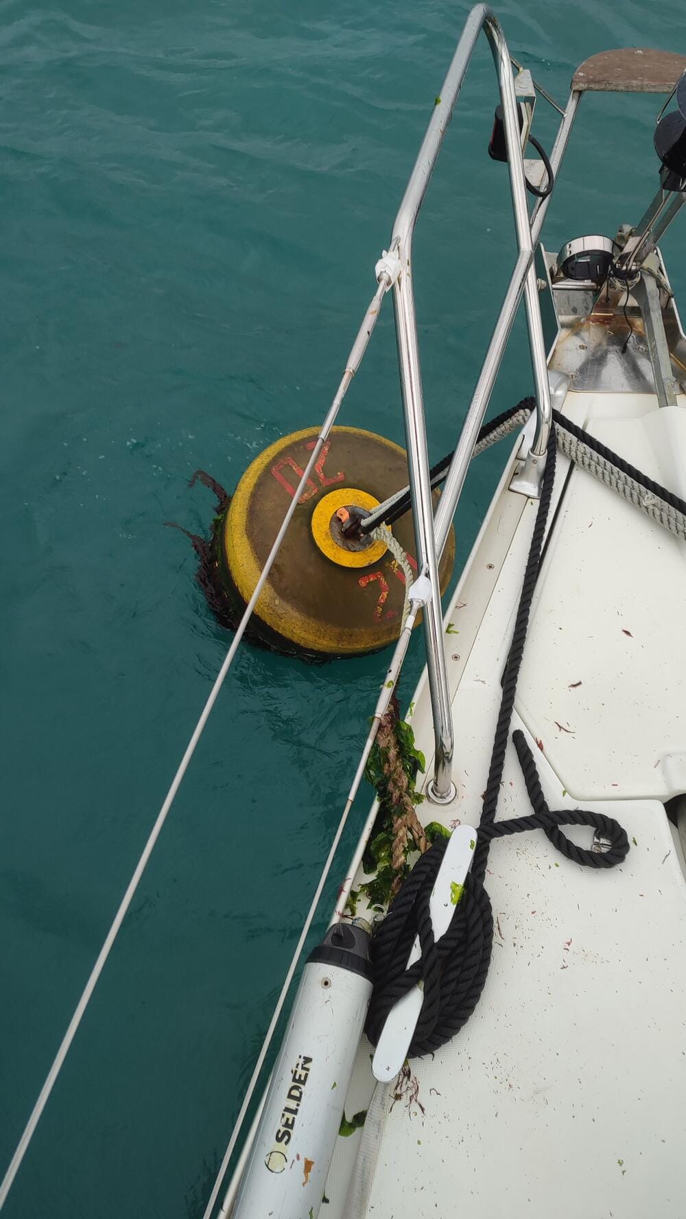
Alderney
Why the Channel Islands Are So Tricky
For most sailors, the first shock is the tides. Unlike in the Mediterranean or Canary Islands—where a 1–2 meter tide is common—here the range can exceed 10 meters. This means that every aspect of navigation, from planning entry into a port to deciding where to anchor, depends on the tide tables. A berth that looks safe at high water can leave you aground at low water if you’re not careful.
Another factor is the complex pattern of currents. Between the islands, the water is squeezed through narrow channels, creating streams that can easily reach 5–8 knots. Add strong winds from the Atlantic and you have conditions where a small miscalculation in your passage plan may set you miles off course.
The Alderney Race – A Natural Powerhouse
Perhaps the most infamous feature of this region is the Alderney Race (Raz Blanchard in French). This is a strait between Alderney and Cap de la Hague on the French coast, where the tidal streams can accelerate up to 12 knots during springs. For comparison: that’s faster than many sailing yachts can motor at full throttle.
The Alderney Race is not just about speed; it also generates violent overfalls, whirlpools and standing waves, especially when the tide runs against the wind. Entering this stretch at the wrong time is dangerous, even for experienced sailors. That’s why local almanacs and cruising guides emphasize one golden rule: never fight the Alderney Race, always work with it. Careful timing is everything.
Day 8 – Poole Bay
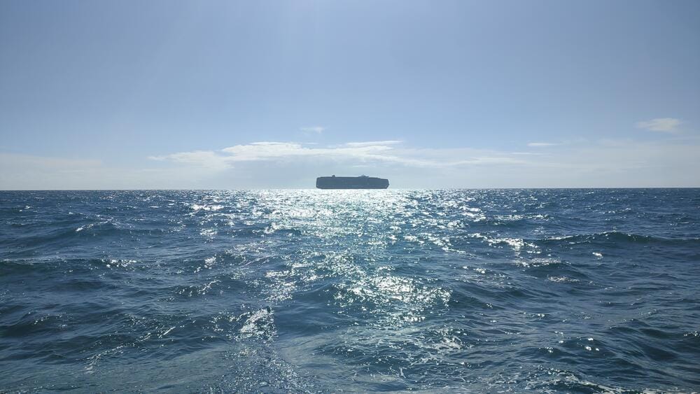
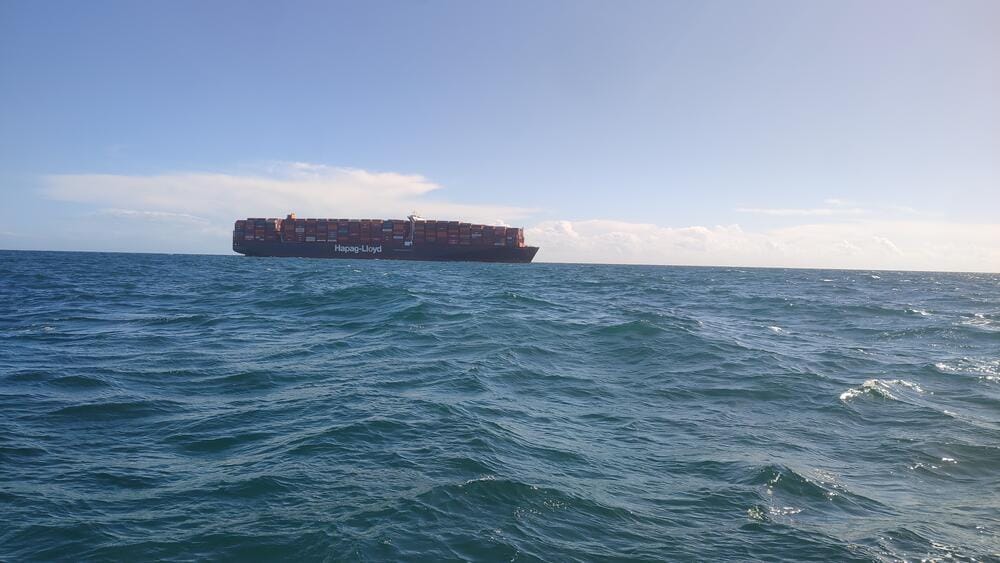
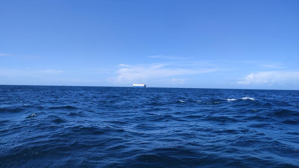
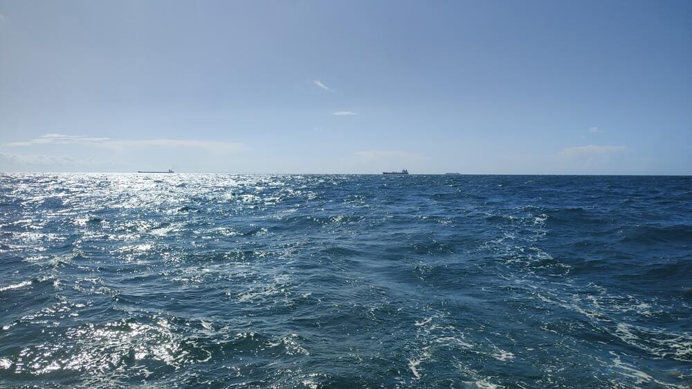
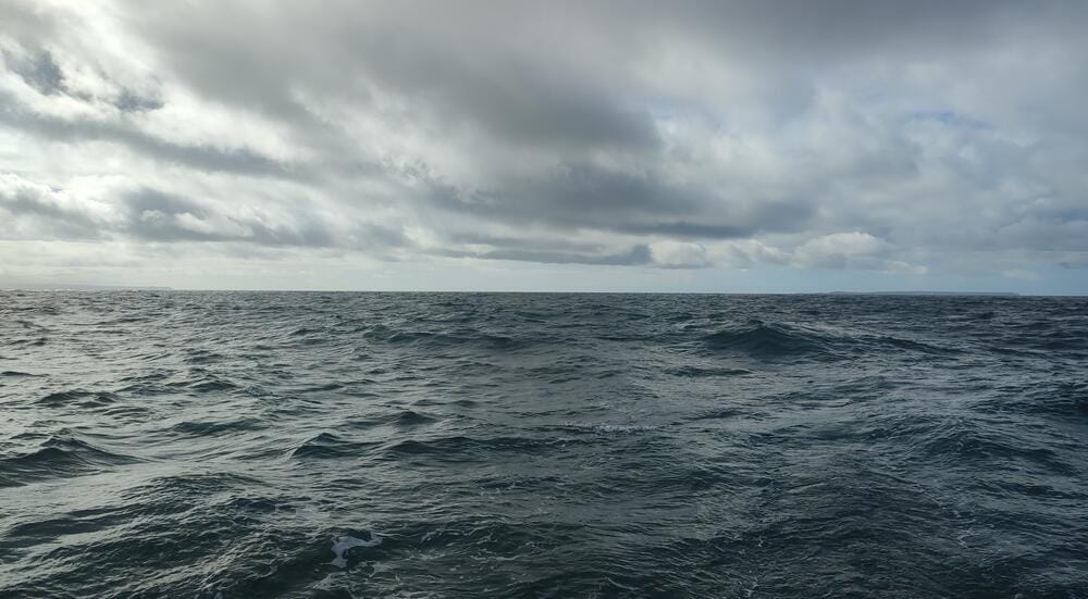
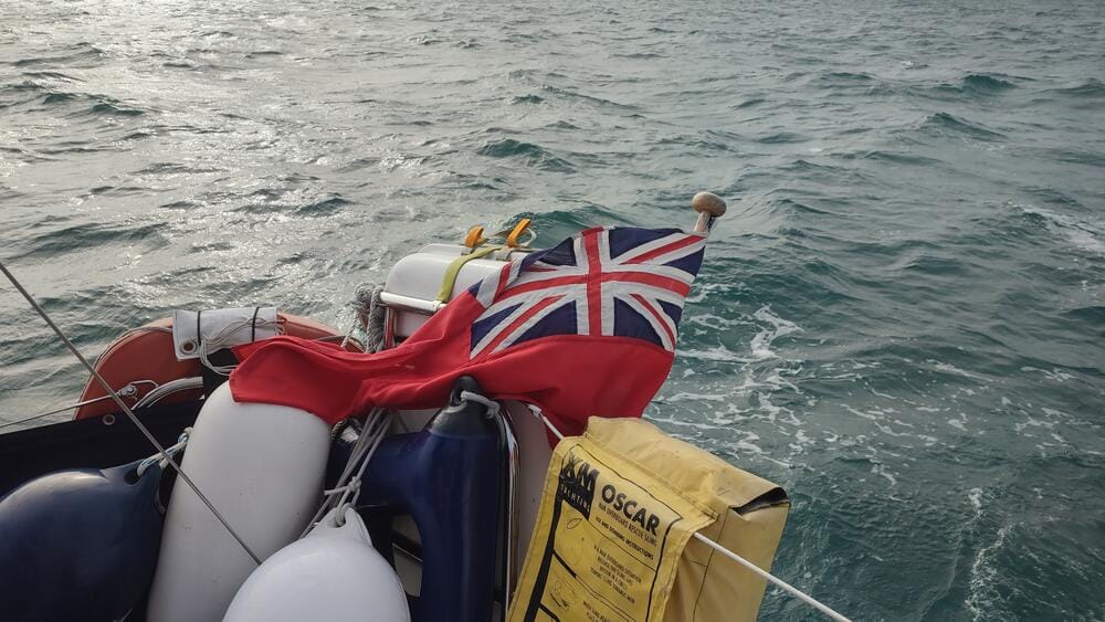
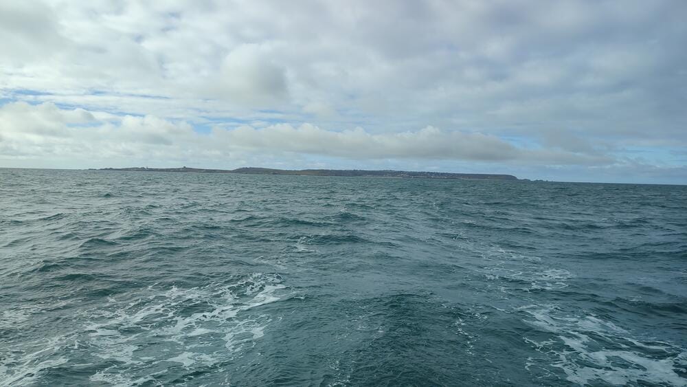
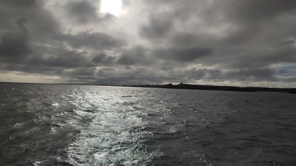
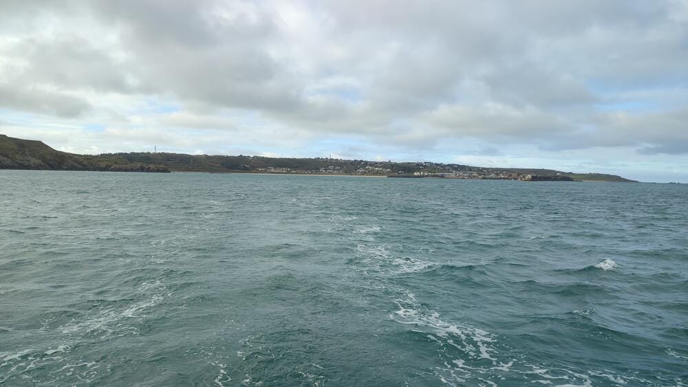
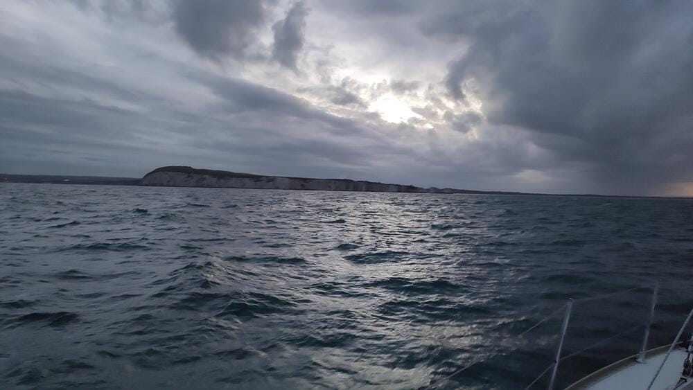
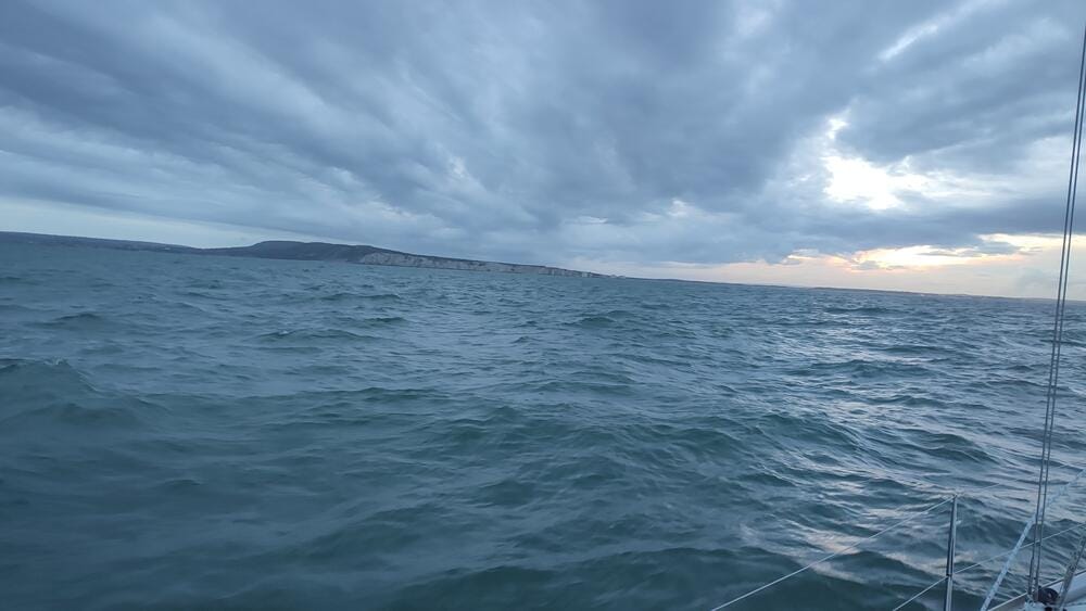
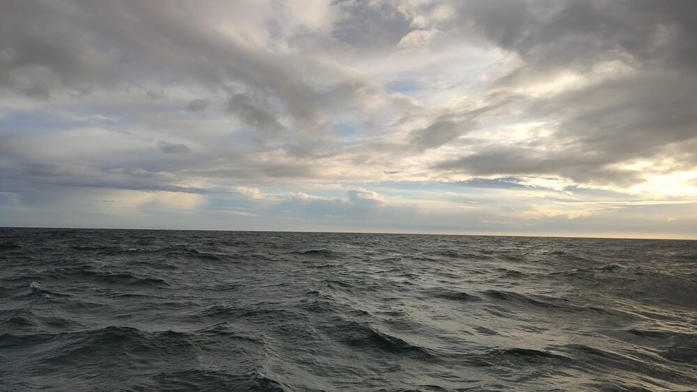
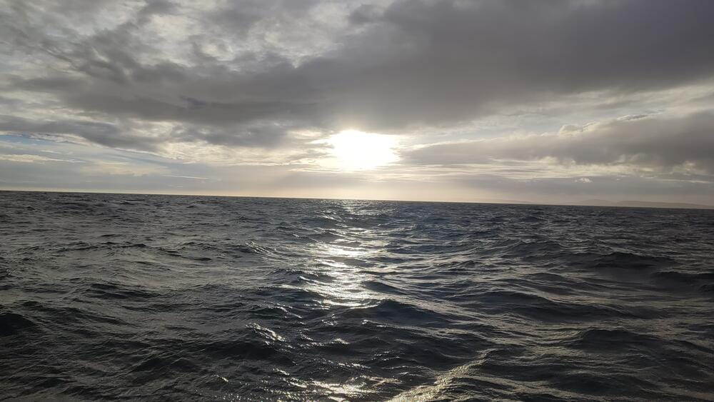
Crossing the Channel back
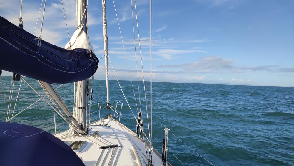
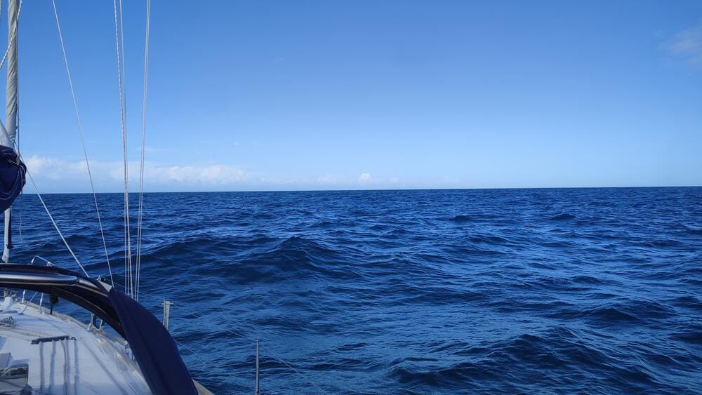
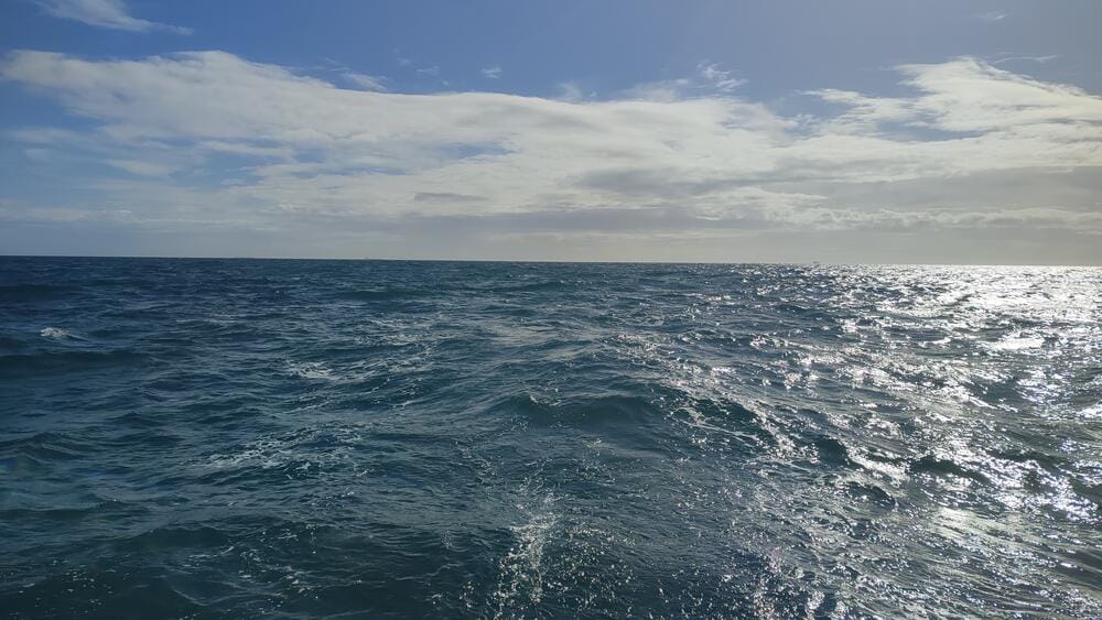
Crossing the Channel back
We returned north, sailing into Poole Bay. This wide, shallow bay on the Dorset coast is famous for its sandy beaches and the vast natural harbour of Poole – one of the largest in the world. Navigating here requires care, as shifting sands and shallow approaches make pilotage tricky.
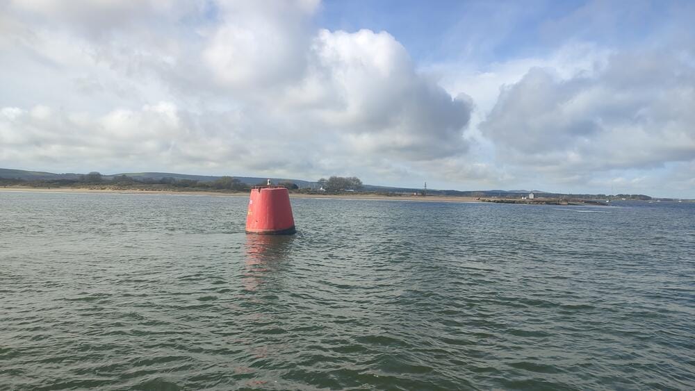
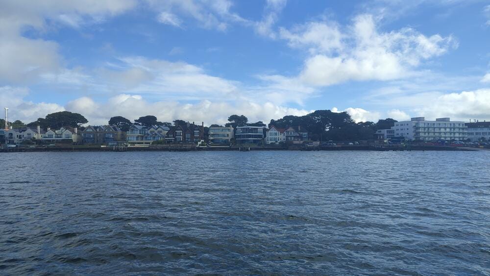
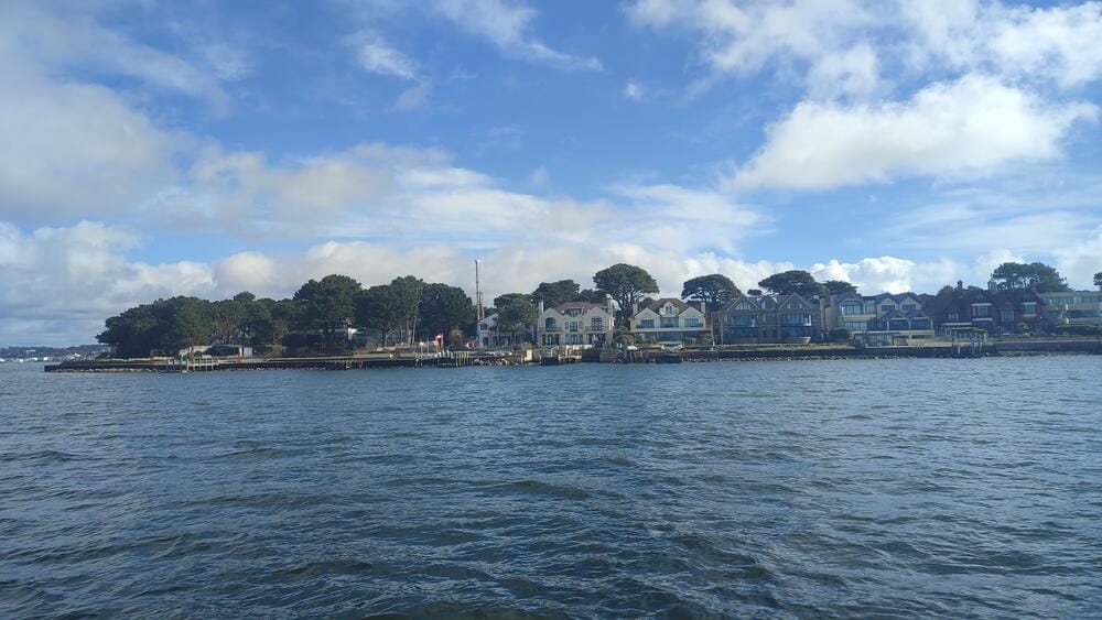
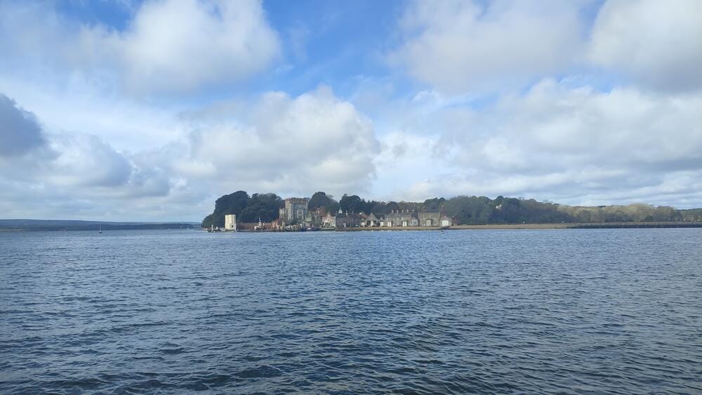
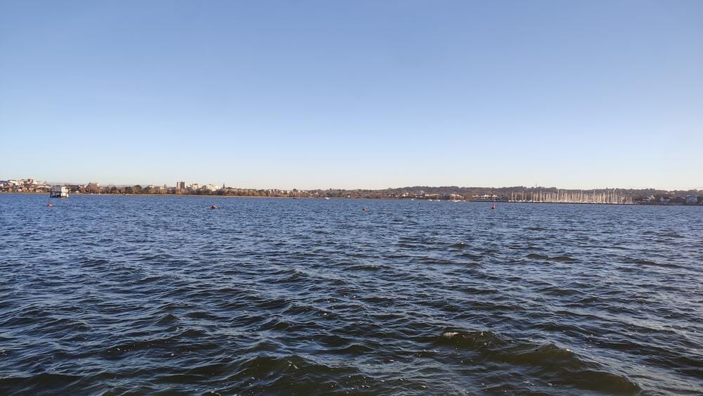
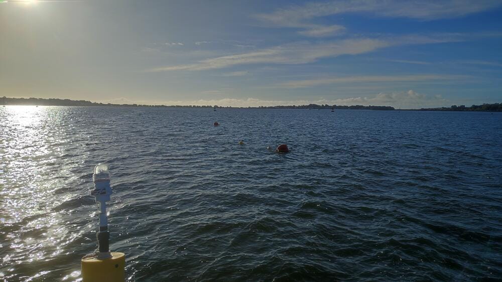
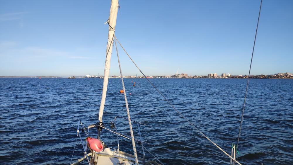
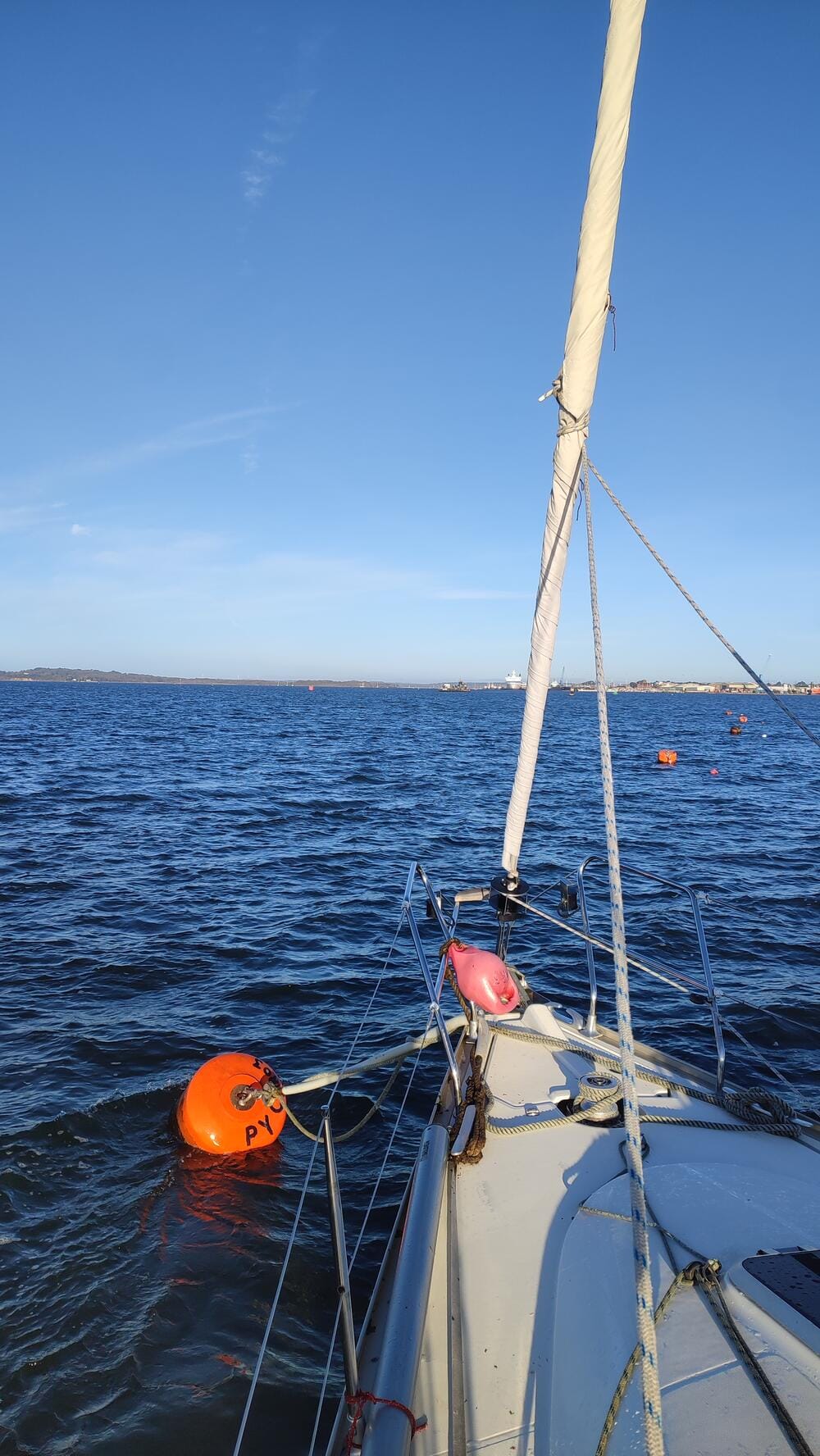
Poole Bay
We picked up a visitor buoy for the night.
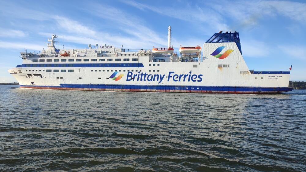
Low water brought us dangerously close to the shoal and in the morning, huge ferries kept racing by, turning our peaceful anchorage into a kind of highway at sea.
Poole bay
Day 9 – Return via The Needles
On our final day, we crossed The Needles in daylight for the first time and were finally able to take a proper look at it, before returning to Hamble Point Marina. After refueling and tidying up, it was time to say goodbye to our Jeanneau – a faithful companion on a demanding adventure.
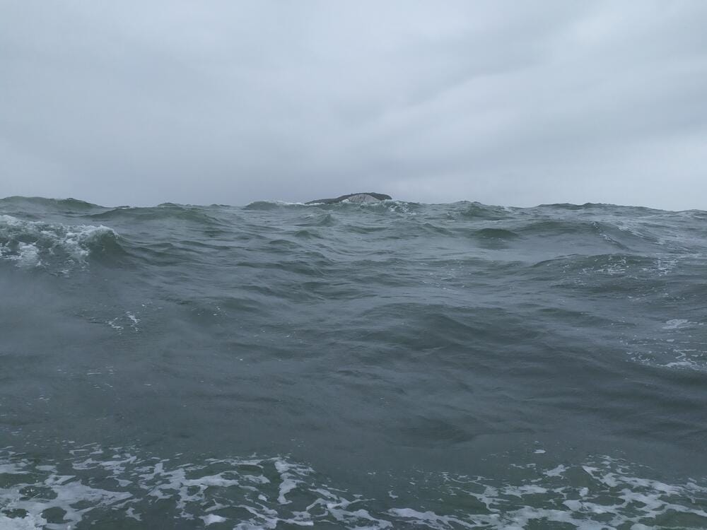
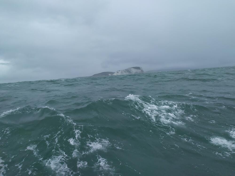
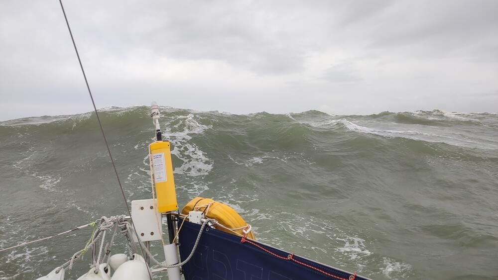
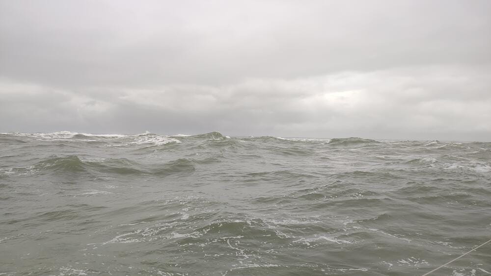
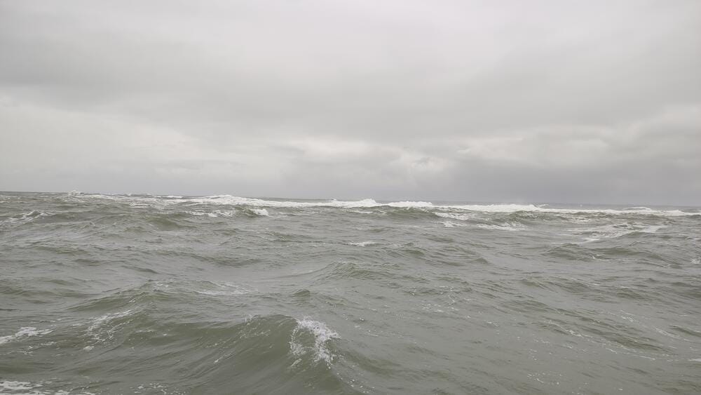
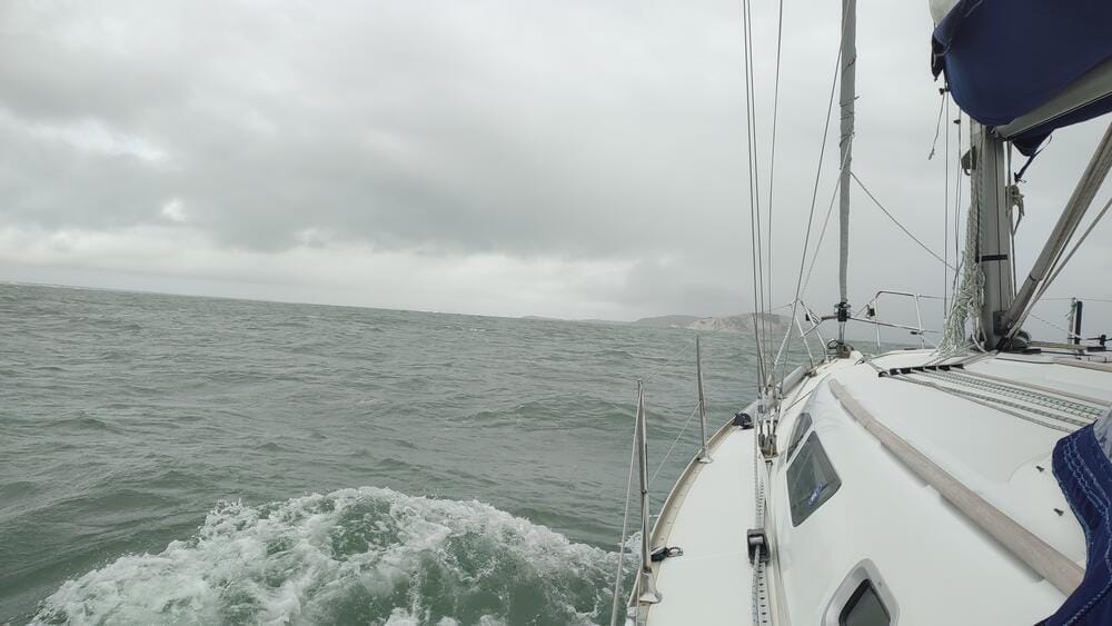
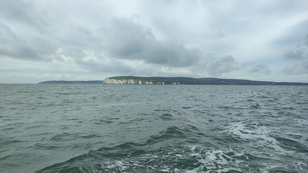
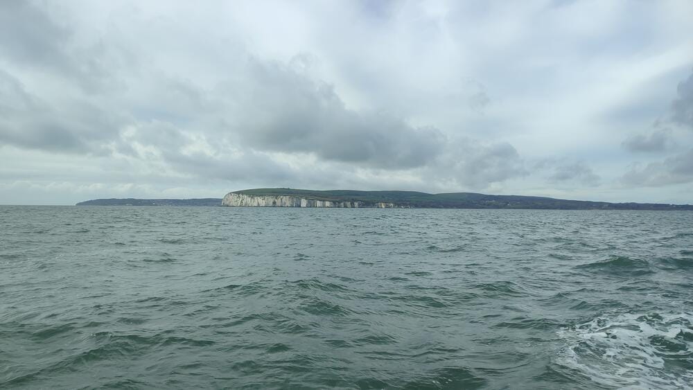
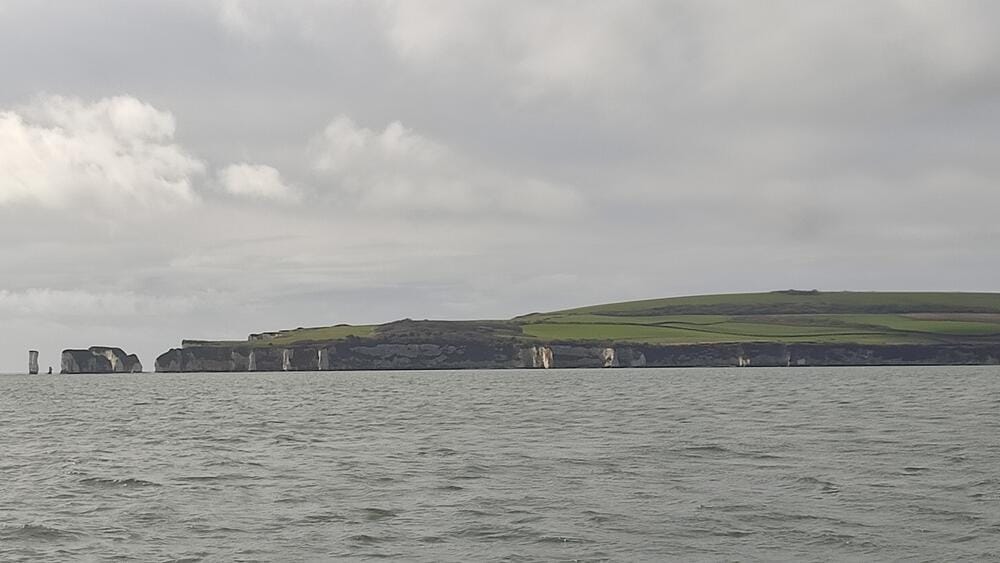
The Needles
Navigating The Needles
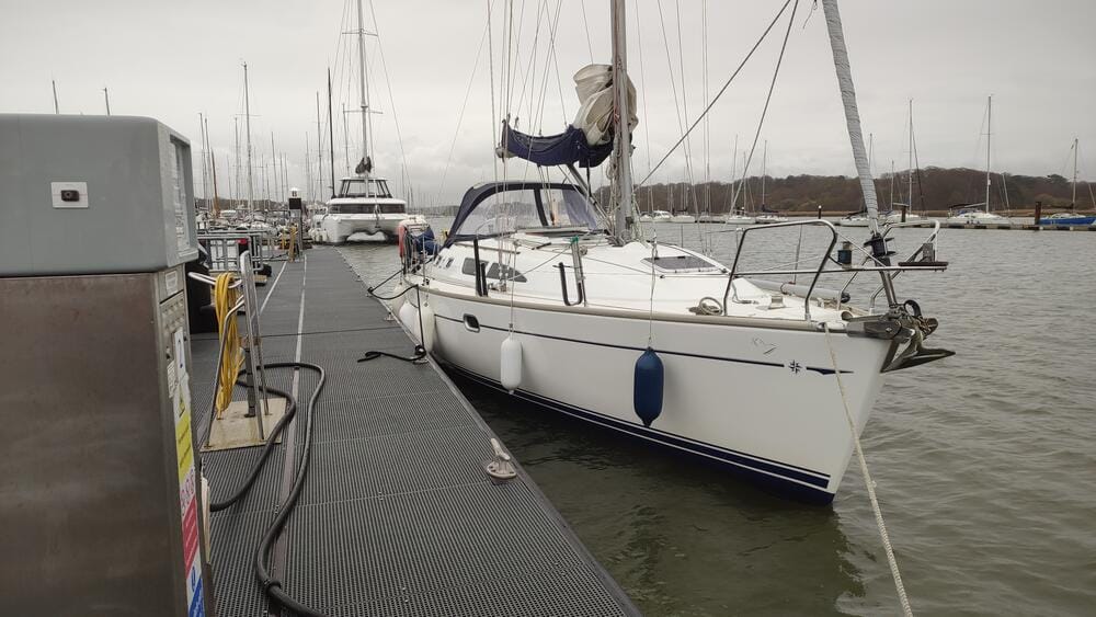
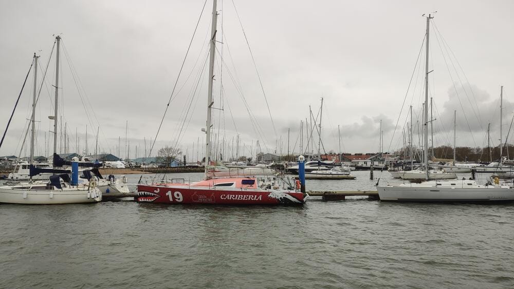
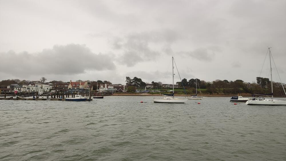
Base marina
Reflections and Lessons Learned
In total, we sailed 272 nautical miles.
This voyage taught us respect for tidal waters. Unlike in places such as the Canary Islands – where a 2-meter tide may only affect mooring lines – the Solent and Channel shape every decision: when to leave port, when to arrive, where to anchor and even how to berth.
Crossing the Channel without GPS reminded us of the power of seamanship and traditional navigation. Radar, charts, tidal calculations and sharp observation are still vital skills, even in the digital age. After all, GPS is a military technology and in today’s turbulent times of ongoing conflicts, it can be disrupted, degraded or even switched off. A good skipper should always be ready to fall back on the fundamentals when the electronics go dark.
For sailors dreaming of the English Channel, expect strong tides, unpredictable weather and intense traffic – but also unforgettable scenery, historic harbours and the satisfaction of mastering one of the world’s most iconic sailing regions.
Related posts
- Explore more of our sailing adventures